Last updated: 3 November 2026
Short Answer
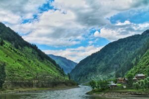
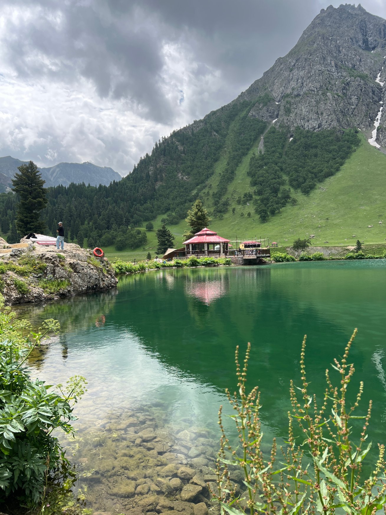
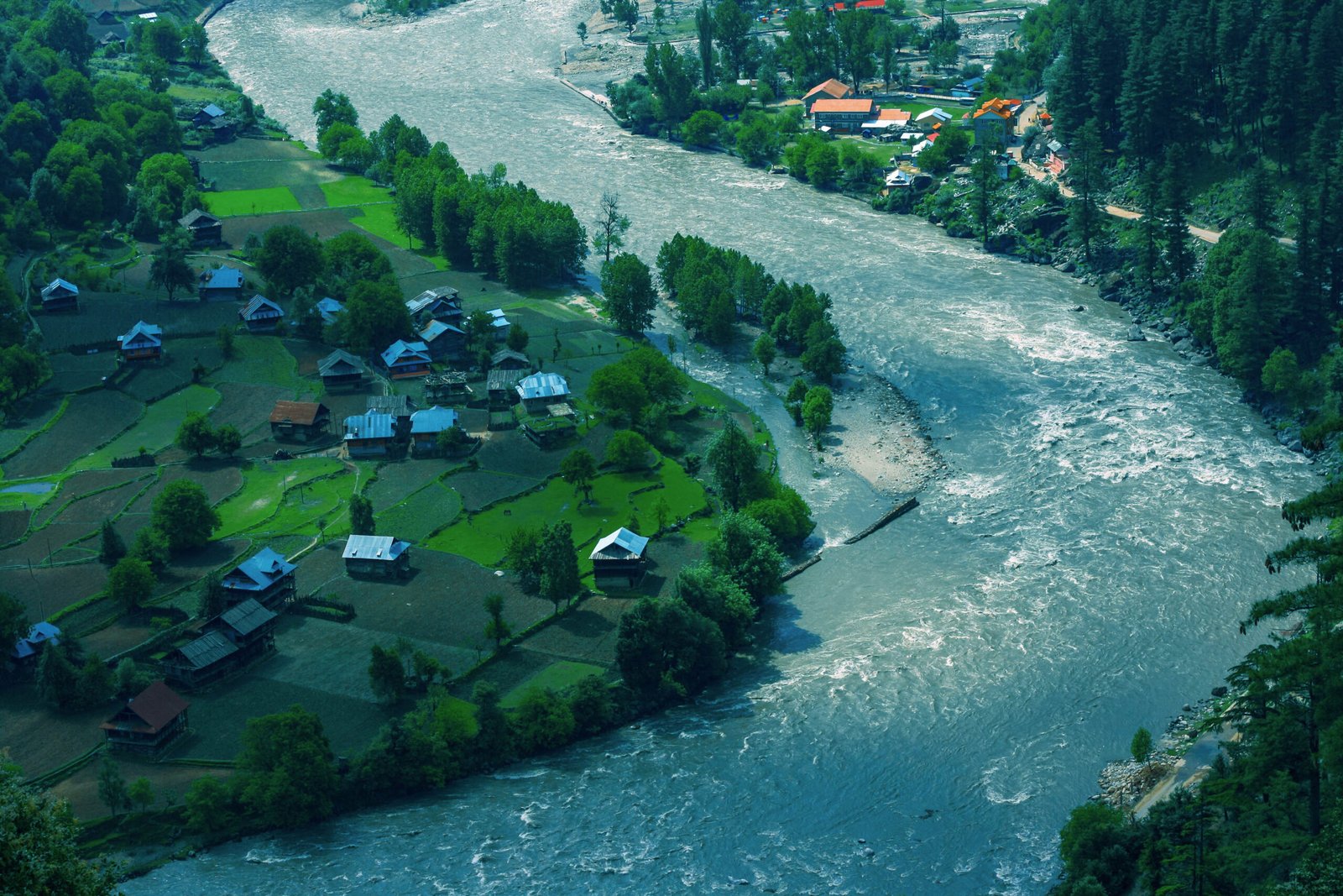
Neelum Valley is a long, forested river valley in Azad Jammu and Kashmir, running about 200 km northeast from Muzaffarabad along the Neelum River to Taobat, the last village before the Line of Control. Allow 4 to 5 days: a day for the lower valley to Keran, a day for Sharda and Kel, a day for Arang Kel, and a day for the return, with Taobat as an extra day for committed travellers. The best time is May to October, when the full valley road is open; in winter, the upper valley beyond Keran is snow-blocked and most high guesthouses close. Neelum is not in Gilgit-Baltistan and not in Khyber Pakhtunkhwa — it is Kashmir, with its own roads, its own pace, and a valley road that follows a single river from start to finish, which makes it one of the easiest northern valleys to plan.
Where is Neelum Valley, and how does the valley road work?
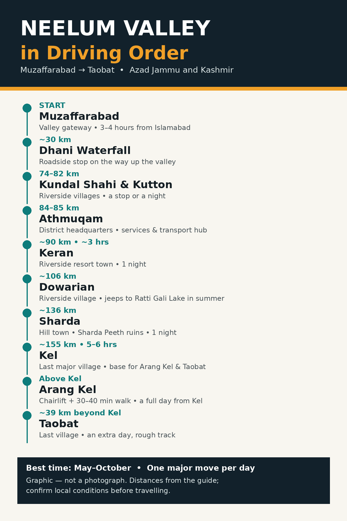
Neelum Valley begins at Muzaffarabad, the capital of Azad Jammu and Kashmir, about 140 km and 3 to 4 hours from Islamabad via the Murree Expressway and Kohala. From Muzaffarabad, a single road — the Neelum Road — follows the Neelum River northeast through the district headquarters at Athmuqam, then Keran, Sharda and Kel, ending at Taobat. Because there is effectively one road, planning is a matter of how far up the valley you go, not which route you choose. The road is good as far as Athmuqam, then increasingly rough from Keran towards Kel, where a high-clearance vehicle is recommended. Distances are long for the kilometres involved, because the road is narrow and winding: Keran is about 90 km from Muzaffarabad but takes about 3 hours, and Kel is about 155 km but takes 5 to 6 hours.
What are the main stops, in driving order?
| Stop | Distance from Muzaffarabad | What it is | Allow |
|---|---|---|---|
| Dhani Waterfall | About 30 km | The valley’s best-known roadside waterfall, on the way up the valley | A stop |
| Kundal Shahi and Kutton | About 74 to 82 km | Riverside villages on the Jagran stream, with waterfalls and guesthouses | A stop or a night |
| Athmuqam | About 84 to 85 km | The district headquarters and main town of the valley | A stop; services and transport hub |
| Keran | About 90 km, about 3 hours | A riverside resort town on the Neelum River, opposite the Line of Control | 1 night |
| Dowarian | About 106 km | A riverside village above Keran, on the way to Sharda | A stop |
| Sharda | About 136 km | A hill town above the river, home to the ruins of Sharda Peeth, an ancient centre of learning | 1 night |
| Kel | About 155 km, 5 to 6 hours | The last major village in the valley, at about 2,100 m, and the base for Arang Kel and Taobat | 1 to 2 nights |
| Arang Kel | Above Kel, by chairlift and walk | A hilltop village of wooden houses and terraced fields, one of the most photographed places in Azad Kashmir | A full day from Kel |
| Taobat | About 39 km beyond Kel | The last village in the valley, at the meeting of the Neelum River and Chhatri Nar | An extra day from Kel, on a rough track |
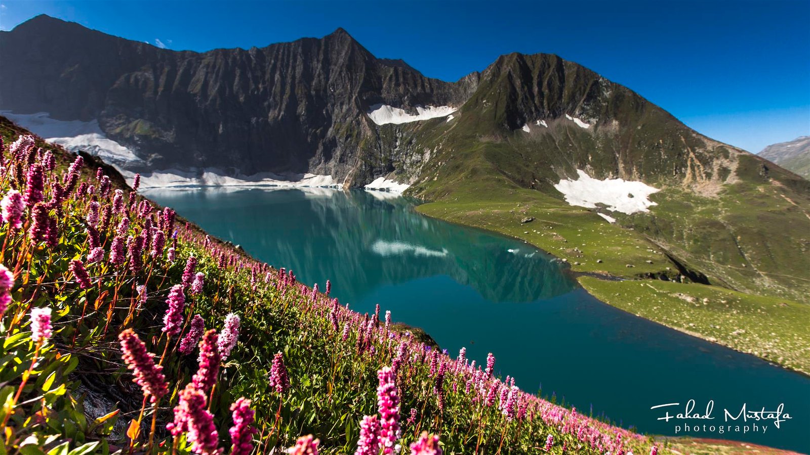
Ratti Gali Lake, reached by jeep from Dowarian in summer, is the valley’s best-known high lake, and Shounter Valley and Chitta Katha Lake, reached from Kel, are further options for trekkers with more days.
What is Sharda Peeth, and why does it matter?
Sharda, at about 1,981 m, is known for the ruins of Sharda Peeth, an ancient temple and centre of learning that was once one of the most important seats of Hindu and Buddhist scholarship in the subcontinent. The ruins sit on a hilltop above the Neelum River, with stone walls and carved doorways that hint at the site’s former scale. For modern travellers, Sharda Peeth is the valley’s historical anchor: it explains why a small hill town in a remote valley has a name known across South Asia, and it gives a Sharda stop a purpose beyond the scenery. Visit with a guide if you can, since the ruins are more legible with context, and treat the site as a place of worship and heritage, not as a photo backdrop.

How do you reach Arang Kel?
Arang Kel, at about 2,554 m, has no road. From Kel, take the chairlift (doli) across the river, then walk uphill for about 30 to 40 minutes to the village — some sources describe the walk as up to 2 hours including the lift and the climb, so allow a generous half day. Check that the lift is operating before you set out, since it does not run in bad weather or when under maintenance. The village itself is small: wooden houses, terraced fields and mountain views, with a handful of guesthouses. Staying a night in Arang Kel is possible in season and is the best way to see it without crowds, but day trips from Kel are the standard choice. Take water, sun protection and a warm layer: the village is exposed, and the walk up is steep.

When is the best time to visit Neelum Valley?
May to October is the main season, when the full valley road is open and guesthouses in Sharda, Kel and Arang Kel are operating. June to September is the best window for the upper valley, Arang Kel and Ratti Gali Lake. April brings spring in the lower valley, and October brings autumn colour, but the upper valley can close early with snow. November to April is the low season: the road beyond Keran is often snow-blocked, most high guesthouses close, and a trip should be limited to the lower valley around Muzaffarabad, Kundal Shahi and Keran, with conditions confirmed locally. Do not plan a Kel or Arang Kel trip in winter on the assumption that the road will be open.
What should you know before you go?
First, Neelum Valley runs along the Line of Control, and Keran in particular sits directly across the river from the other side. Stay on the main road and in the main villages, follow local guidance on photography and movement near the river, and do not cross barriers or enter restricted areas. Second, the valley road is long and slow: a 155 km drive to Kel takes 5 to 6 hours, so plan one major move per day, not two. Third, cash is essential: carry enough for guesthouses, jeeps and the Arang Kel chairlift, since ATMs beyond Muzaffarabad and Athmuqam are limited. Fourth, mobile coverage is patchy in the upper valley, so download maps and confirm the next night’s stay before leaving Kel. Fifth, no prices are quoted in this guide, deliberately: chairlift charges, jeep fares and hotel rates change by season, and a stale figure misleads more than no figure. Confirm current access guidance locally before travelling to Taobat, since the final track is rough and conditions change.
A practical 4-day Neelum itinerary
Day 1: Drive from Islamabad to Muzaffarabad, 3 to 4 hours, then up the valley to Keran, about 3 hours, with stops at Dhani Waterfall and Kundal Shahi, overnight in Keran. Day 2: Drive from Keran to Sharda, with a stop at Dowarian, visit Sharda Peeth in the afternoon, overnight in Sharda or continue to Kel. Day 3: Drive to Kel, then chairlift and walk to Arang Kel for the day, returning to Kel for the night. Day 4: Drive back down the valley to Muzaffarabad and Islamabad, with a stop at Athmuqam or Kutton. With a fifth day, add Taobat from Kel, or a Ratti Gali Lake jeep trip from Dowarian in summer.
Keep planning
For neighbouring valleys, see the Swat Valley Travel Guide and the Naran & Kaghan Valley Travel Guide. For safety context, see Is Gilgit-Baltistan Safe for Tourists? For packing, see What to Pack for Northern Pakistan, and for entry requirements, see the Pakistan Tourist Visa Guide.
Frequently asked questions
How many days do I need for Neelum Valley?
Allow 3 days for the lower valley to Keran and Sharda, 4 to 5 days for the full valley to Kel and Arang Kel, and 5 to 6 days if you add Taobat. The valley road is slow, so a single overnight trip from Islamabad only reaches the lower valley; the upper valley needs at least two nights beyond Muzaffarabad.
Is Neelum Valley safe for tourists?
Neelum Valley is a popular tourist destination, and the main valley road and villages are routinely visited. Because the valley runs along the Line of Control, follow local guidance, stay in the main villages, and avoid restricted areas and photography near sensitive points. Check local advice before travelling, since conditions near the Line of Control can change.
What is the best time to visit Neelum Valley?
May to October is the best time, with June to September the best window for the upper valley, Arang Kel and Ratti Gali Lake. In winter, from November to April, the upper valley beyond Keran is often snow-blocked and most high guesthouses close, so winter trips should be limited to the lower valley with conditions confirmed locally.
How do I get to Arang Kel?
Drive to Kel, take the chairlift across the river, then walk uphill 30 to 40 minutes to the village. Check that the lift is operating before you go, since it does not run in bad weather. Allow a half day for the round trip, and consider staying a night in Arang Kel in season to see it without day-trip crowds.
Do I need a permit to visit Neelum Valley?
No special tourist permit is generally required for the main valley road to Kel, but access guidance near the Line of Control can change, and the final track to Taobat is rough and remote. Confirm current local guidance before travelling, especially for Taobat, and carry identification, as checks on valley roads are possible.