Last updated: 6 November 2026
Short Answer
The Batura Glacier trek is the most accessible of the Karakoram’s giant glaciers — a 6–10 day trek from Passu village in Upper Hunza, along the northern side of a glacier roughly 57 km long, one of the longest outside the polar regions. It is graded moderate to challenging: long days of 5–7 hours over moraine and glacier, camps at 3,000–3,800 m, and one demanding glacier crossing. No technical climbing is involved, but you need good fitness, a local guide and porters, and proper acclimatisation. The best season is June to September. The reward is the scale of it — a river of ice between the Batura Muztagh peaks, summer pastures, and Wakhi settlements that see very few outsiders.
Batura Glacier Trek at a Glance
| Fact | Detail |
|---|---|
| Where | Batura Valley, Gojal, Upper Hunza, Hunza District — starts at Passu village on the Karakoram Highway |
| Glacier length | Roughly 57 km — among the longest glaciers outside the polar regions |
| Trekking days | 6–10 days of trekking, inside a 9–13 day door-to-door trip from Islamabad |
| Difficulty | Moderate to challenging; 5–7 hours walking per day over moraine and glacier |
| Highest camp | About 3,800 m (day hike toward Lupdor) |
| Best season | June to September (some operators run May–October) |
| Peaks in view | Batura Sar 7,785 m, Passu Sar 7,284 m, Shispare 7,611 m |
| Support | Local guide and porters strongly recommended; camps, no lodges on the trail |
| Base | Passu village (2,543 m) — acclimatise here first |
The Glacier: What You Are Walking Beside
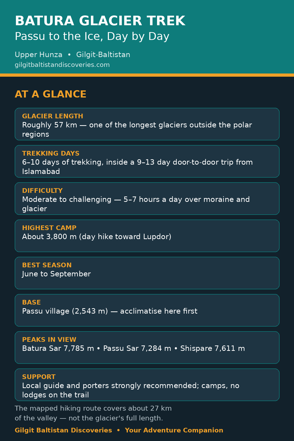
The Batura Glacier stretches for roughly 57 km through the Karakoram, from the Batura Muztagh peaks in the west down to the Karakoram Highway near Passu — making it one of the longest glaciers outside the polar regions, and the second-longest in Pakistan after Siachen by some counts. The trek does not walk the glacier’s full length; the mapped hiking route covers about 27 km of the valley and the glacier’s northern side, through an ablation valley of streams, flower-filled gullies and summer pastures, with the ice itself on your left for most of the way.
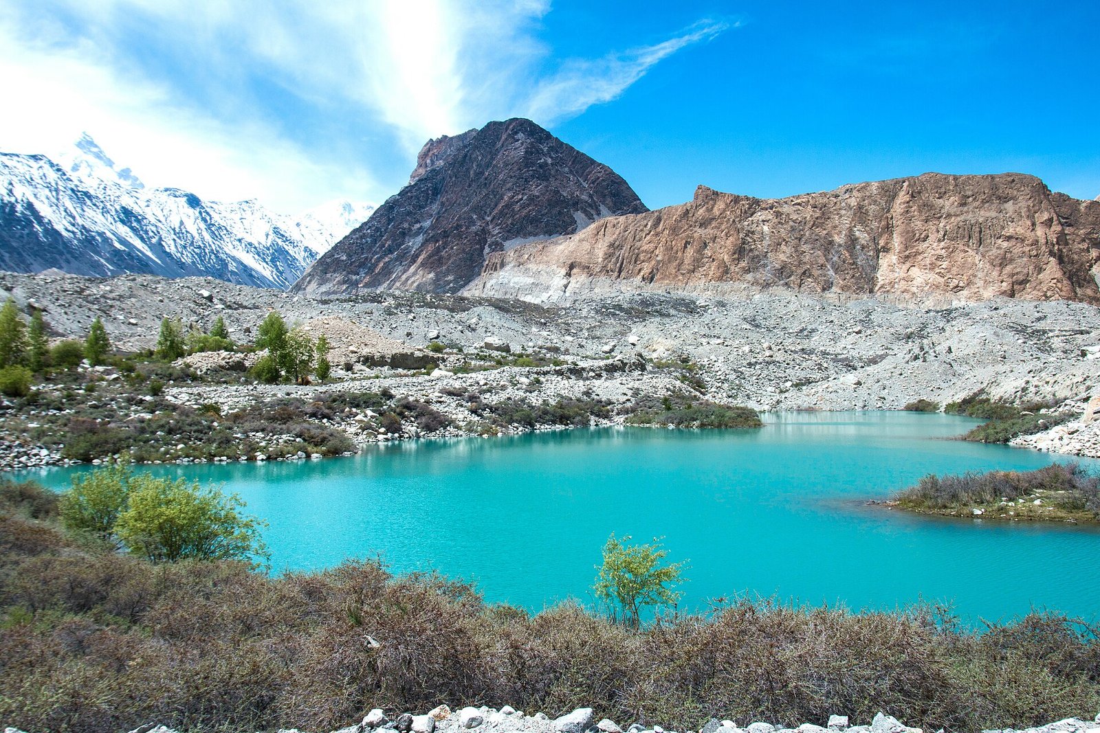
The setting is the Batura Muztagh, the westernmost sub-range of the Karakoram, with more than ten peaks above 7,000 m. The three that dominate the trek are Batura Sar (7,785 m), Passu Sar (7,284 m) and Shispare (7,611 m) — all visible from the trail on clear days.
The Route, Day by Day
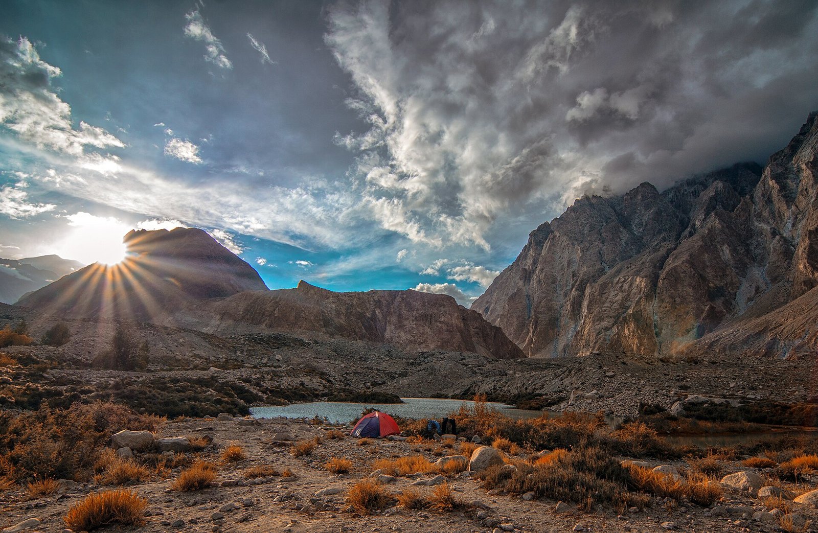
This is the standard supported itinerary, as run by Upper Hunza operators (a 13-day door-to-door version; shorter 8-day versions exist, and longer 14–16 day versions add more time on the ice). Days and camps vary with the glacier, the streams and the seasonal bridges — treat this as the shape of the trek, not a fixed timetable.
- Days 1–3: Islamabad to Passu. Drive or fly to Gilgit, then the Karakoram Highway to Passu (about 150 km, 4–5 hours from Gilgit). Passu village sits at 2,543 m — spend a day acclimatising here, with an easy 3–4 hour walk to the Passu Glacier viewpoint or Borit Lake.
- Day 4: Passu to the trailhead and China Camp. About 5–6 hours trekking to around 3,000 m. The trail leaves the village, crosses the lateral moraine and enters the Batura valley proper.
- Day 5: China Camp to Yashperth. About 5–7 hours to around 3,300 m, walking the ablation valley between the moraine and the mountains.
- Days 6–8: Yashperth to Kuckhel and Lupdor. The heart of the trek: 5–7 hour days to around 3,600 m, with a day hike toward Lupdor up to about 3,800 m (6–8 hours return). Summer pastures, shepherd settlements, and the glacier’s broad icefall.
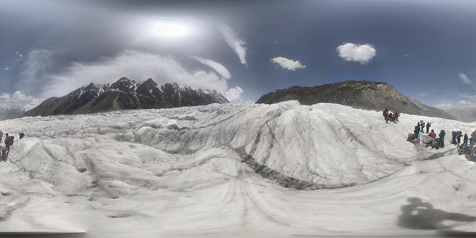
- Day 9: The glacier crossing. Crossing the Batura Glacier itself is the trek’s demanding day — crevasses, boulder fields and meltwater, taken slowly with a guide. This is the part that makes the trek “challenging” rather than “moderate”.
- Days 10–11: Return to Passu. A 6–8 hour trekking day and a short transfer back to Passu village.
- Days 12–13: Passu to Gilgit and Islamabad. Drive back down the KKH (flights from Gilgit are weather-dependent — build in a buffer day).
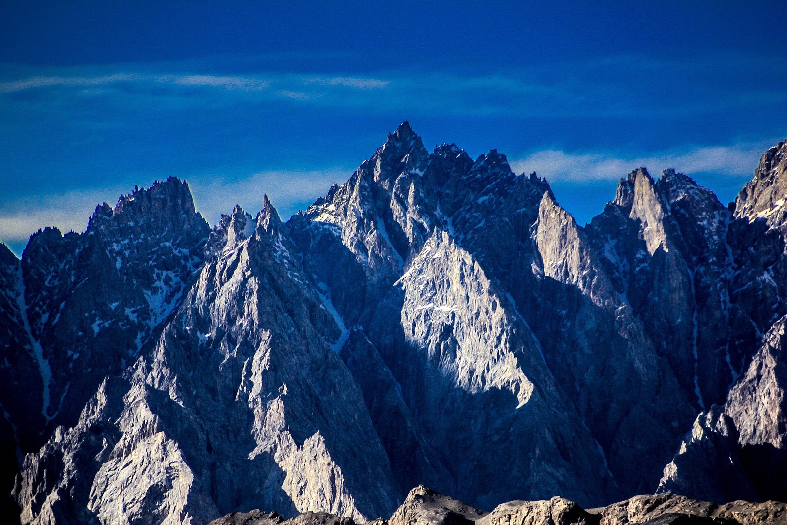
Shorter options exist: a 1–5 day walk from Passu into the lower valley gives you the glacier, the pastures and the peaks without the full crossing — and for many travellers, that is the right trip.
Difficulty: Honest Assessment
- Fitness: moderate to good. You should be comfortable walking 4–7 hours a day, several days in a row, over uneven moraine with altitude adjustments.
- Altitude: camps are mostly around 3,000–3,800 m — high enough for altitude sickness to matter. Acclimatise in Passu, ascend gradually, and know the symptoms. See our Altitude Sickness guide.
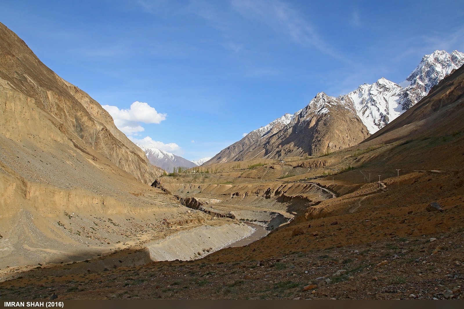
- Terrain: most of the trek is an easy stroll along a flower-filled gully between the lateral moraine and the mountains, with almost no steep sections. The difficult part is crossing the glacier — crevasses, loose boulders and meltwater streams.
- Support: a local guide and porters are strongly recommended, and effectively essential for the glacier crossing. There are no lodges on the trail — this is a camping trek.
- Weather: June to September offers the most dependable trail and pasture access. Early or late departures can meet snow, cold nights and difficult stream crossings.
The Side Trip: Patundas Meadows
From the Batura side, a steep climb crosses the ridge between the Passu and Batura glaciers to Patundas Meadows (about 4,200 m) — the high summer pastures above Passu, with views across both glaciers. It is a demanding detour and a highlight for strong walkers; see our Patundas Trek guide for the full picture. Do not attempt it as a casual add-on — it is a serious day in its own right.
What to Pack for the Batura Trek
Disclosure: as an Amazon Associate, we earn from qualifying purchases made through links on this page, at no extra cost to you.
This is a camping trek at altitude — pack for cold nights and rough ground: KEEN Targhee 3 hiking boots for moraine and glacier, a Sawyer Squeeze water filter for stream water on the trail, and an Anker PowerCore portable charger — there is no power on the trail and no signal in the valley. Your operator provides tents and food; confirm exactly what is included before you book.
More Guides from Gilgit Baltistan Discoveries
- Chapursan Valley Travel Guide: Hunza’s Remote North
- K2 Base Camp Trek Itinerary: The Classic 14 Days, Day by Day
- Karimabad: A Traveller’s Guide to Hunza’s Old Capital
- Is Gilgit-Baltistan Safe for Tourists? An Honest 2026 Answer
Frequently asked questions
How long is the Batura Glacier?
Roughly 57 km — one of the longest glaciers outside the polar regions. The trek itself covers about 27 km of the valley and the glacier’s northern side, not the full length.
How many days is the Batura Glacier trek?
6–10 days of trekking, inside a 9–13 day door-to-door trip from Islamabad. Shorter 8-day packages and longer 14–16 day versions also exist.
How difficult is the Batura Glacier trek?
Moderate to challenging. Most days are 5–7 hours over moraine with no steep sections, but the glacier crossing is demanding, camps reach about 3,800 m, and a guide is strongly recommended.
When is the best time to trek the Batura Glacier?
June to September, when the trail and pastures are most dependable. Some operators run May to October, but early and late trips can meet snow and difficult stream crossings.
Do I need a guide for the Batura Glacier trek?
Yes, effectively. A local guide and porters are strongly recommended, and essential for the glacier crossing. There are no lodges on the trail — it is a camping trek.
Where does the Batura Glacier trek start?
Passu village in Gojal, Upper Hunza, on the Karakoram Highway — about 150 km (4–5 hours) from Gilgit. Acclimatise in Passu before starting.