Short Answer
Rush Lake sits at 4,694 metres (15,400 ft) above Hoper Valley in Nagar District, Gilgit-Baltistan, and is widely described as Pakistan’s highest alpine lake. The classic trek starts at Hoper village (about 2,800 m), crosses the Hoper (Bualtar) and Barpu glaciers, and reaches the lake in 3–4 walking days, with 6–7 days recommended for the full trip including acclimatisation and the return. The best window is late June to September. It is a moderate-to-challenging, non-technical trek, but the glacier crossings and the altitude make a local guide essential — this is not a walk to attempt unguided.
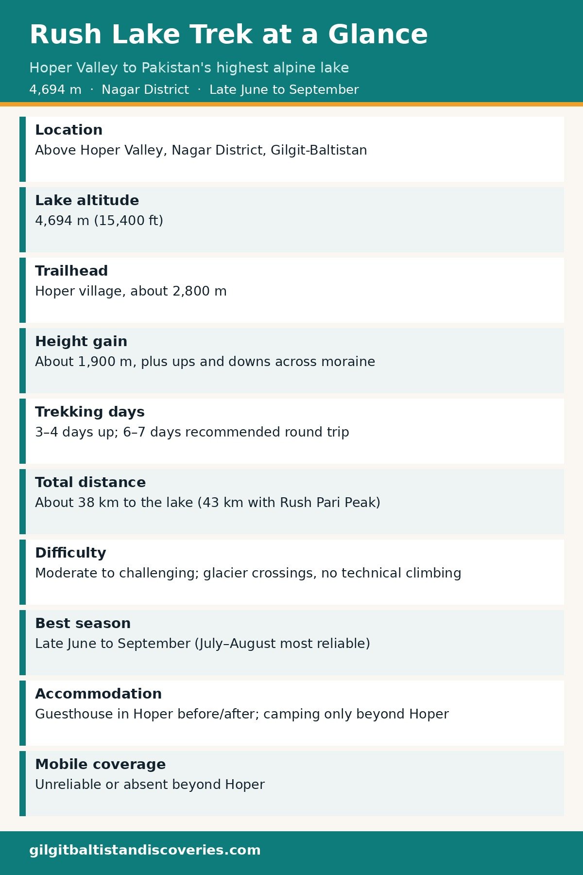
Rush Lake at a Glance
| Fact | Detail |
|---|---|
| Location | Above Hoper Valley, Nagar District, Gilgit-Baltistan |
| Lake altitude | 4,694 m (15,400 ft) |
| Trailhead | Hoper village, about 2,800 m |
| Height gain, trailhead to lake | About 1,900 m (plus ups and downs across moraine) |
| Trekking days | 3–4 days up; 6–7 days recommended for the round trip with acclimatisation |
| Total distance | About 38 km to the lake (about 43 km with the Rush Pari Peak extension, per one operator itinerary) |
| Difficulty | Moderate to challenging; glacier crossings, no technical climbing for the lake itself |
| Best season | Late June to September (July–August most reliable) |
| Accommodation | Guesthouse in Hoper before/after; camping only beyond Hoper |
| Mobile coverage | Unreliable or absent beyond Hoper |
Where Is Rush Lake, and Why Is It Special?
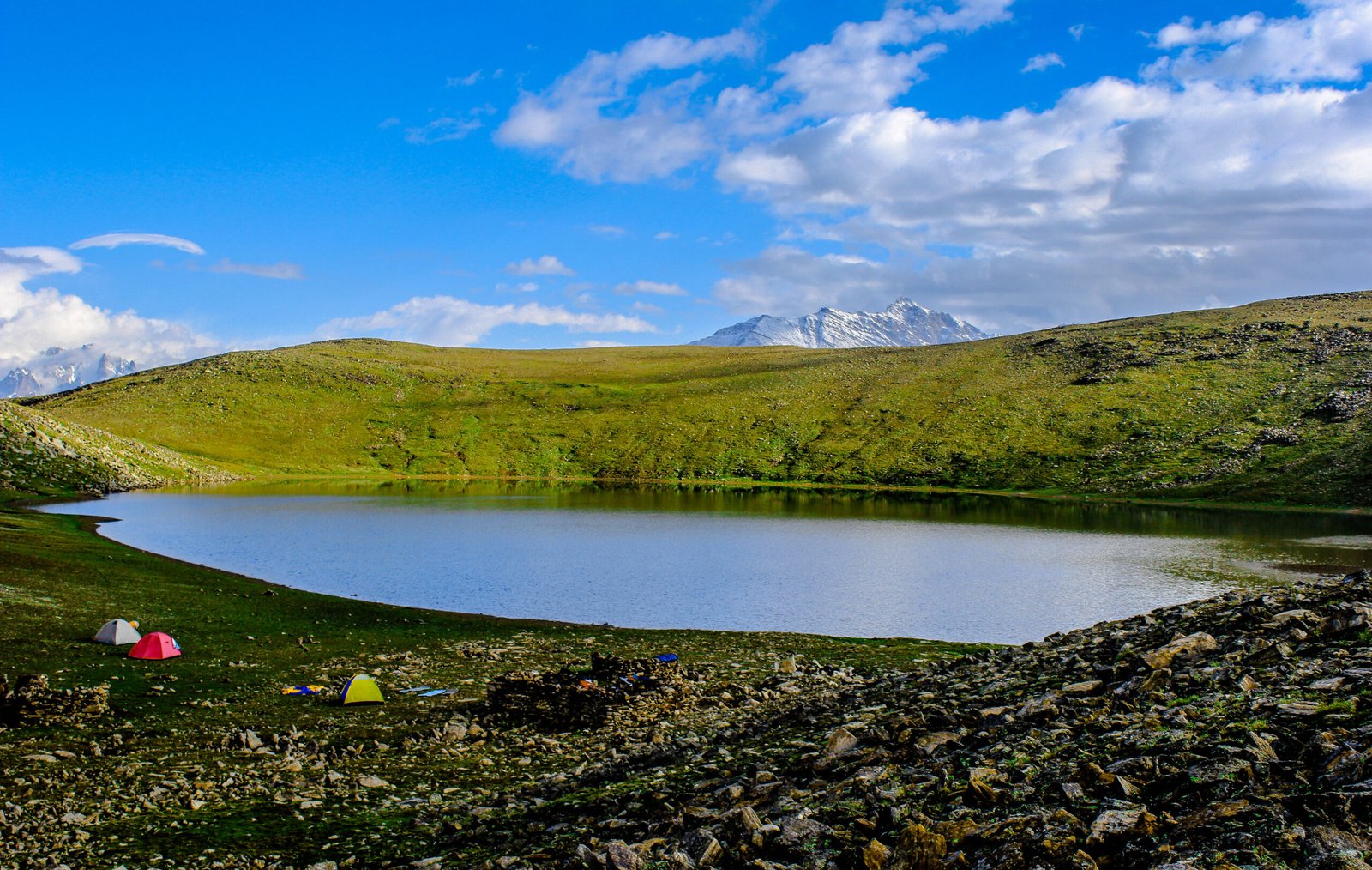
Rush Lake — locally Rush Phari — lies in the Hispar Muztagh region of the Karakoram, roughly 15 km north of Miar Peak and Spantik (Golden Peak), beneath Rush Peak (5,098 m). Its outflow feeds the Miar Glacier system. The lake is the highest well-known alpine lake in Pakistan, and one of the highest in the world. World rankings vary between sources (25th and 27th both appear), because rankings depend on definitions of size, permanence and mapping accuracy — so this guide rests on the verified altitude, not on a single rank number.
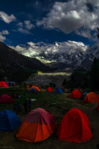
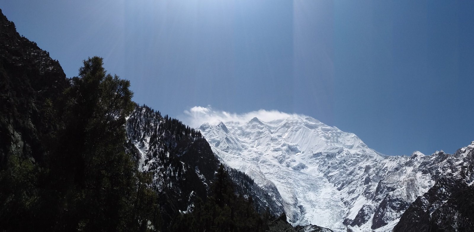
What makes the trek special is the combination: a short approach by Karakoram standards, two major glacier crossings, and a lake camp surrounded by Spantik (7,027 m), Malubiting (7,458 m), Miar Peak, Phuparash Peak and Ultar Sar (7,388 m). On exceptionally clear days, some operators claim K2 can be glimpsed from the Rush Peak area — treat that as a bonus, never a promise.
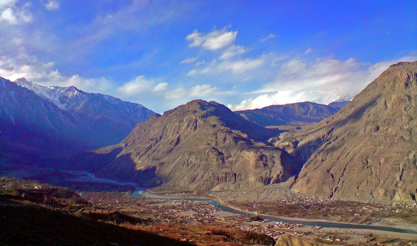
District discipline: this trek is in Nagar District throughout. Hunza Valley lies across the Hunza River and is a separate district; some international listings loosely call this a “Hunza trek” because Hunza is better known. It is not.
How Do You Get to Hoper Valley?
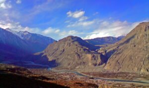
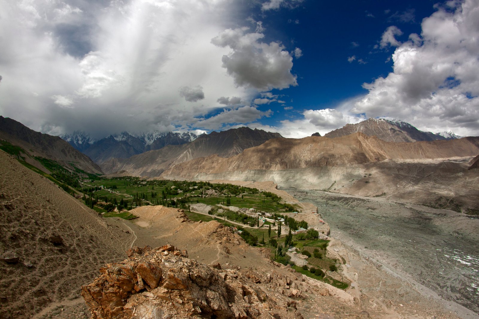
Hoper is reached from Gilgit via the Karakoram Highway through Nagar, then a jeep road to Hoper village — about 2–3 hours by jeep from Gilgit, or 3–4 hours including the road section in a full itinerary. From Islamabad, either take the weather-dependent flight to Gilgit or drive the Karakoram Highway (usually via Chilas, 10–12 hours to Chilas alone), then continue to Hoper. Build a buffer day into any plan that depends on the Gilgit flight: cancellations are common and push the whole schedule back.
Spend at least one night in Hoper before starting, and ideally two nights around Hunza or Nagar beforehand. That acclimatisation is not optional padding — it is the single best protection against altitude sickness on this route.
Day-by-Day Itinerary: Hoper to Rush Lake and Back
Camp names and spellings vary between operators (Bericho Kor / Barpu Giram / Chidin Harai / Shishkin / Bari Chakor), and the exact line across the glaciers changes every season as ice and meltwater channels move. The itinerary below is the classic, comfortable version. Faster operators complete the trek in 4 walking days; the slower version below is the one this guide recommends.
| Day | Route | Altitude | Walking | Notes |
|---|---|---|---|---|
| 1 | Arrive Hoper, acclimatisation walk | About 2,800–3,200 m | 3–4 hrs | Easy walk above the village overlooking the debris-covered Bualtar Glacier |
| 2 | Hoper → Bericho Kor (Barpu Giram area) | About 3,300 m | 5–7 hrs | Cross the Hoper (Bualtar) Glacier, then Barpu Glacier ground; camp at the grazing area |
| 3 | Bericho Kor → Chidin Harai | About 4,200–4,440 m | 5–7 hrs | The hardest ascent day; steep, dry in places, limited water — carry enough |
| 4 | Chidin Harai → Rush Lake | 4,694 m | 3–4 hrs | Final climb across rocky high ground to the lake camp |
| 5 | Rush Lake day / Rush Pari Peak option | 4,694 m (5,098 m peak) | 3–4 hrs return for the peak | Rest, photography, or the optional peak ascent if conditions allow |
| 6–7 | Descend to Hoper | About 2,800 m | 2 days, 5–8 hrs each | Retrace via Chidin Harai and Bericho Kor; glacier route-finding can extend a day |
Day 1: Hoper village and acclimatisation
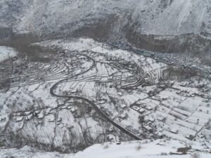
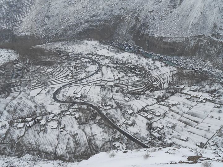
Hoper is a cluster of hamlets set among fields, overlooked by the Bualtar Glacier moraine. Use the day for a measured walk above the village, a gear check, and a briefing with your guide on the glacier line, porter loads and the weather plan. Guesthouses here include the well-known Hoper Inn, overlooking the glacier moraine.
Day 2: Hoper to Bericho Kor — the first glacier day
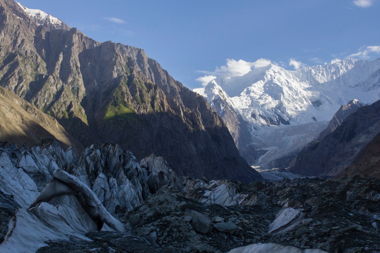
The trail leaves the fields and crosses the debris-covered Hoper (Bualtar) Glacier, then works onto Barpu Glacier ground before reaching the Bericho Kor / Barpu Giram grazing area at about 3,300 m. Expect roughly 10–12 km and 5–7 hours on rough, uneven ground. This is the day that surprises fit first-timers: the distance sounds modest, but moraine walking is slow.
Day 3: Bericho Kor to Chidin Harai — the hardest day
A steady, strenuous climb above the Barpu and Miar glacier systems to Chidin Harai at about 4,200–4,440 m. Some accounts report this as a short but very steep day (around 4 km with over 1,000 m of gain) with no water on the upper section — carry at least 2 litres of personal water capacity and fill up before the climb. Camp placement varies with water, wind and trail conditions.
Day 4: Chidin Harai to Rush Lake
A shorter final push, roughly 3–4 hours across rocky slopes and high ground, to the camp near the lake at 4,694 m. On a clear evening the light on Spantik and Malubiting from the lake camp is the payoff for the whole trek.
Day 5: Rush Lake day, or Rush Pari Peak (5,098 m)
Take a rest day at the lake, walk its shore, and photograph the peaks. The optional Rush Pari Peak ascent is a 3–4 hour round trip from camp for fit, well-acclimatised trekkers — it adds roughly 400 m of height and about 5 km to the trip total. Attempt it only if your guide judges conditions safe; it is never a guaranteed add-on.
Days 6–7: The descent
Descend in two stages via Chidin Harai and Bericho Kor to Hoper, then drive back to Gilgit or Hunza. Descent days are long (5–8 hours) and the glacier crossings demand the same attention on the way down — most glacier accidents happen on tired legs.
When Is the Best Time to Trek to Rush Lake?
| Month | Conditions | Verdict |
|---|---|---|
| June | Residual snow, high meltwater, route still settling | Possible late in the month; expect route changes |
| July | Most reliable operating window; meadows green, days warm | Best month for most trekkers |
| August | Warmer; glacier melt may shift crossing lines and channels | Very good, with a flexible schedule |
| September | Clearer views, fewer trekkers, cooler nights | Excellent for experienced trekkers |
| October–May | Snow, extreme cold, glaciers and lake effectively inaccessible | Do not plan the trek |
Approximate temperature planning (operator-published guidance): in late June–July, Hoper may reach 15–30°C by day, while high camps are often around 3–16°C by day and −5 to +4°C overnight. Nights at the lake camp are below freezing even in summer — pack for that, not for the daytime temperature.
How Hard Is the Rush Lake Trek, and Who Is It For?
The trek is graded moderate to challenging (one operator grades it 4 out of 5). It suits fit trekkers with some multi-day hiking experience; it is not recommended for complete beginners or for anyone who has never walked at altitude. No technical mountaineering skills are needed for the lake itself, and no ropes or crampons are normally required — but glacier conditions govern equipment, and your guide may require basic glacier gear if the season’s line demands it.
Fitness preparation: train for 5–8 hour days on rough ground with a pack, including steep descents. The two things that end Rush Lake attempts are altitude sickness and underestimating moraine walking — both are preventable with pacing and acclimatisation.
Altitude Sickness and Acclimatisation
The height gain from Hoper (about 2,800 m) to Rush Lake (4,694 m) is close to 1,900 m, with additional cumulative ascent and descent across the moraine. Follow the standard rules: ascend conservatively, sleep no more than about 300–500 m higher than the previous night once above 3,000 m where the itinerary allows, drink well, and keep a flexible schedule. Persistent headache, nausea, dizziness, unusual fatigue, breathlessness at rest or poor coordination must be reported to your guide immediately — worsening symptoms require descent, and medication never replaces acclimatisation. No drug names or doses are given here; discuss prevention with your own doctor before travelling. Full guidance: see the companion Altitude Sickness in Gilgit-Baltistan guide.
Permits, Guides and Porters
- Guide: essential, not optional. The route crosses active glaciers whose safe line changes every season. A locally experienced guide must select the line each season; downloaded tracks are for orientation only, and the guide must have authority to change or stop the route.
- Porters and camp support: porters carry group tents, food and an agreed share of guest baggage, within fair load limits. A cook or assistant is recommended for a supported camp, particularly for safe food preparation and reliable hot drinks at altitude.
- Permits and documents: tour operators arrange the required trekking permits and documents as part of their packages. No single fixed government fee for this trek could be verified from an official source, so this guide does not quote one — confirm exactly what permits and fees your operator includes before paying. One operator blog quotes a minimal entry/permit figure around Rs. 500–1,000, but treat that as indicative, not official.
- Emergency plan: agree communication, first aid and evacuation limitations before departure. Rescue is weather-dependent and cannot be guaranteed. Mobile coverage is unreliable or absent beyond Hoper, so your team — not your phone — is your safety net.
How Much Does the Rush Lake Trek Cost?
Prices move with group size, season and what is included, so use ranges, not single figures — and confirm every line before booking. The figures below are currently published operator rates with a ~20% buffer added on the owner’s instruction, to allow for season-to-season movement — they are indicative, not quotes.
| Option | Indicative cost | Basis |
|---|---|---|
| Guided all-inclusive package (door-to-door, about 13 days including travel) | USD 1,800–3,000 per person | Published operator itinerary price (USD 1,500–2,500), uplifted ~20% per owner instruction, subject to group size and arrangements |
| Independent-style trek, 4 trekking days, group of 4 (local costs only) | About Rs. 96,000–108,000 per person | Operator-blog estimate (Rs. 80,000–90,000), uplifted ~20%: jeep Gilgit–Hoper Rs. 24,000–30,000; guide/porter Rs. 12,000–18,000 per day; camping Rs. 6,000–9,600 per person; meals Rs. 4,200–4,800 per day; permit/entry minimal |
What a guided package usually includes: transport, accommodation before/after the trek, all meals on trek, tents and mattresses, guide, porters and permits. What it usually excludes: international and domestic air tickets, visa fee, personal insurance, drinks and personal gear. Travel insurance that explicitly covers high-altitude trekking to 5,000 m is essential — check the altitude ceiling on your policy, not just the word “trekking”.
What to Pack for the Rush Lake Trek
Beyond the standard northern Pakistan packing list, this trek specifically demands:
- Sturdy, broken-in trekking boots with ankle support (moraine is ankle-breaking ground)
- Sleeping bag rated for sub-zero temperatures (nights at 4,694 m are below freezing even in summer)
- Warm layers: thermal base, fleece, down jacket, waterproof shell
- Trekking poles — close to essential on glacier moraine and steep descents
- Sunglasses, high-SPF sunscreen and a hat (UV is intense at this altitude)
- At least 2 litres of personal water capacity, plus a filter or treatment (all collected water should be boiled, filtered or treated)
- Power bank, kept warm in your sleeping bag at night (no electricity beyond Hoper)
- Personal medicines and a first-aid kit; headlamp; sun and wind protection for the face
- Cash in rupees for Hoper and the road — there are no ATMs beyond Gilgit
Affiliate links (tagged, only where genuinely useful): KEEN Targhee 3 hiking boots, Sawyer Squeeze water filter, Anker PowerCore power bank.
Hoper Glacier Crossing: Safety and Plan B
- Cross early in the day, when the glacier surface is firmer and meltwater channels are lower.
- Follow your guide’s line exactly. Crevasses hide under debris and thin snow bridges; the line that was safe last week may not be safe today.
- Rope up only if your guide judges it necessary — the decision belongs to the guide, not the group vote.
- Weather Plan B: if a storm or a changed glacier line blocks the route, the safe move is to wait at camp or descend, not to push on. Build at least one spare day into the itinerary for this.
- If anyone shows worsening altitude symptoms, the plan is descent — immediately, not after the summit photo.
Where to Stay in Hoper Before and After
Stay in a Hoper guesthouse the night before and the night after the trek. The Hoper Inn, overlooking the Bualtar Glacier moraine, is the best-known option; smaller guesthouses and homestays exist in the Hoper hamlets. Beyond Hoper there is no hotel accommodation at all — only camps, including tented camps near Rush Lake. Book Hoper stays in advance in July and August, and confirm whether your trek package already includes them so you do not pay twice.
Combining Rush Lake with Other Nagar Valley Trips
Rush Lake pairs naturally with a longer Nagar Valley trip. The Rakaposhi Base Camp trek (from Minapin, also in Nagar District) is the classic companion: several operators sell a combined Rakaposhi–Rush Lake itinerary of about 10 days, with the Minapin leg first and the Hoper leg second, linked by a drive between the two valleys. It also combines with a Hoper Valley stay itself — the Hoper Valley guide covers the valley, its glacier viewpoint and its orchards as a destination in its own right. Do not confuse the two trailheads: Rakaposhi Base Camp starts at Minapin; Rush Lake starts at Hoper.
Rush Lake vs Other Famous Pakistan Treks
| Trek | Highest point | Trekking days | Character |
|---|---|---|---|
| Rush Lake | 4,694 m (5,098 m with Rush Pari Peak) | 6–7 recommended | Short, high, glacier crossings, quiet |
| Rakaposhi Base Camp | About 3,500 m | 2–3 | Shorter, gentler, one glacier approach |
| K2 Base Camp | About 5,150 m (Concordia) | 14 trail days | Expedition-scale, remote, far more demanding |
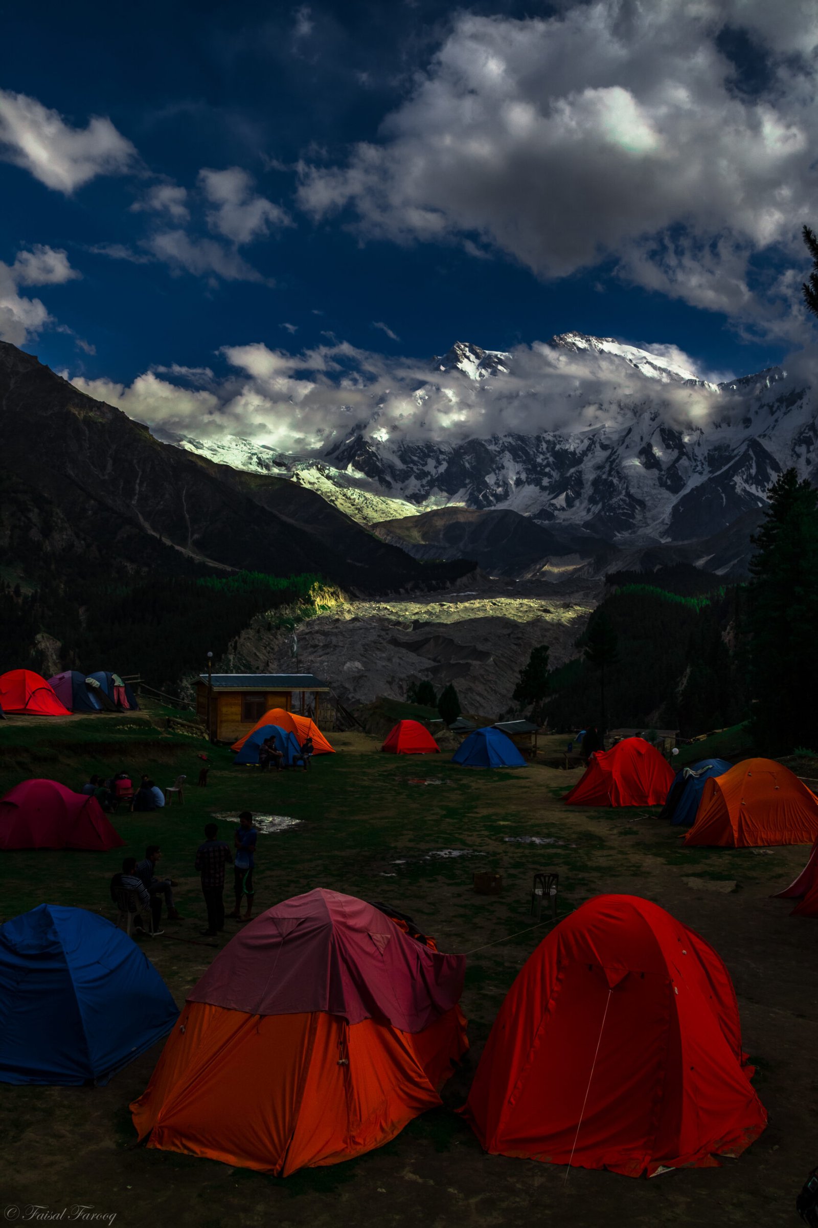
| Fairy Meadows / Nanga Parbat viewpoint | About 3,300 m | 1–2 | Easy access, crowded in season |
Rush Lake is the sweet spot for trekkers who want a genuine high-altitude glacier trek without committing to an expedition: higher than Rakaposhi Base Camp, far shorter than K2 Base Camp, and much quieter than Fairy Meadows.
Frequently Asked Questions
How high is Rush Lake?
Rush Lake sits at 4,694 metres (15,400 ft) above sea level, above Hoper Valley in Nagar District. It is widely described as Pakistan’s highest alpine lake and one of the highest in the world; exact world rankings vary by definition, so the altitude itself is the reliable figure.
How many days does the Rush Lake trek take?
The classic route needs 3–4 walking days up from Hoper and 6–7 days for the recommended round trip including acclimatisation, a lake day and the descent. Faster operators offer 4-day versions, but the slower itinerary is safer for altitude and weather flexibility.
Is the Rush Lake trek difficult?
It is moderate to challenging. No technical climbing is needed for the lake, but two glacier crossings, rough moraine, steep ascents and sleeping at 4,694 m make it unsuitable for beginners. Good fitness and some multi-day hiking experience are recommended.
Do I need a guide for Rush Lake?
Yes. The glacier line changes every season, mobile coverage ends beyond Hoper, and route-finding on debris-covered ice is not safe without a locally experienced guide. Porters and a cook are recommended for a supported camp.
What is the best month for the Rush Lake trek?
July is the most reliable month, with August close behind and September offering clearer views and fewer trekkers. The full window is late June to September; from October to May the route is effectively closed by snow.
Last updated: 29 October 2026