Last updated: 30 October 2026
Short Answer
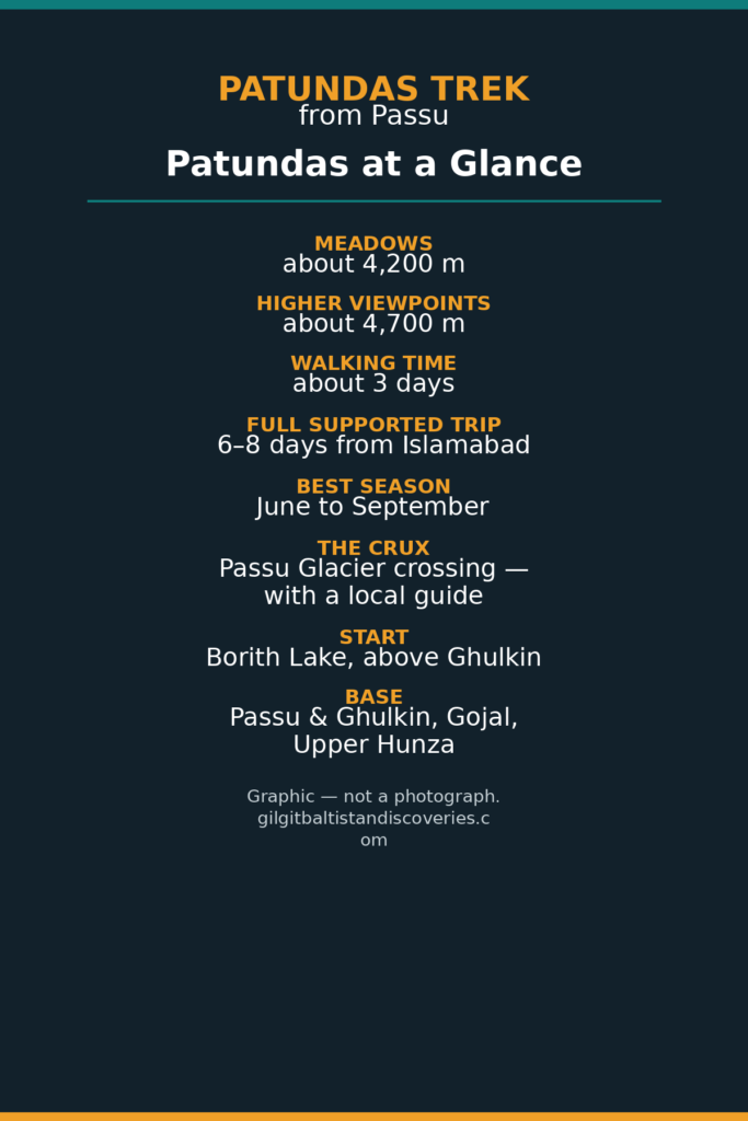
Patundas is a broad summer grazing plateau above Passu in Gojal, Upper Hunza, reached by crossing the Passu Glacier and climbing to meadows at about 4,200 m. The trek takes about 3 days of walking (or 6–8 days as a full supported trip from Islamabad), and it delivers a serious Karakoram panorama — Passu Cones, Shispare, Ultar Sar and the Batura massif — without weeks in the mountains. Go between June and September, cross the glacier with a local guide, and treat the glacier day as the crux: it is a moderate trek with one genuinely demanding section, not a casual day hike.
Where Is Patundas, and Why Is It Worth the Effort?
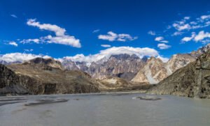
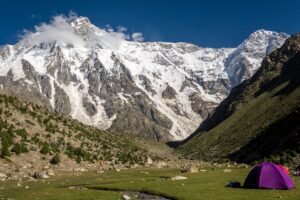
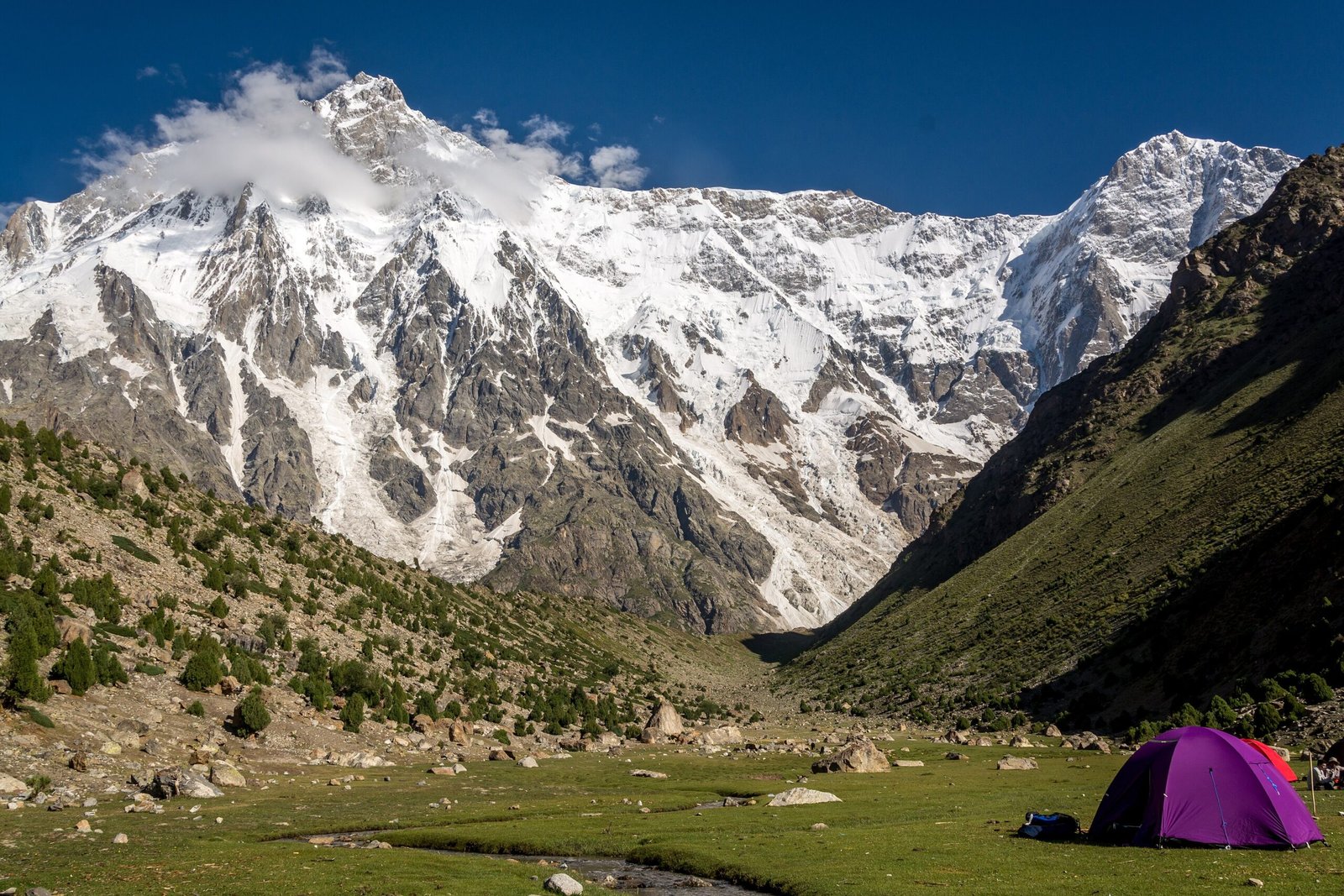
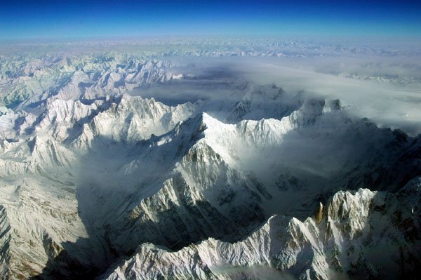
Patundas sits on the ridge between the Passu and Batura glacier systems, above the villages of Passu and Ghulkin in Gojal. Shepherds have grazed it for generations, and in summer the plateau is a “table of mountains”: a flat, open meadow with a 360-degree skyline of 7,000 m peaks. From the meadows you look across to the Passu Cones (Tupopdan), Shispare (7,611 m), the Batura massif (up to 7,795 m) and, on clear days, Ultar Sar, Diran and Rakaposhi (7,788 m). The Batura Glacier itself, about 57 km long, lies on the far side of the plateau.
That combination — a short approach, a real glacier crossing and a 7,000 m panorama — is why Patundas is the best short trek in Gojal. It is also why it is not a walk to improvise: the glacier crossing is the whole trip’s difficulty, and it changes every season.
What Is the Route, Day by Day?
The commonly used route starts near Borith Lake, above Ghulkin, and the standard walking itinerary is 3 days. Supported trips from Islamabad run 6–8 days including travel; a 10-day supported itinerary from Ghulkin adds acclimatisation and exploration days.
| Stage | What happens | Approx. altitude |
|---|---|---|
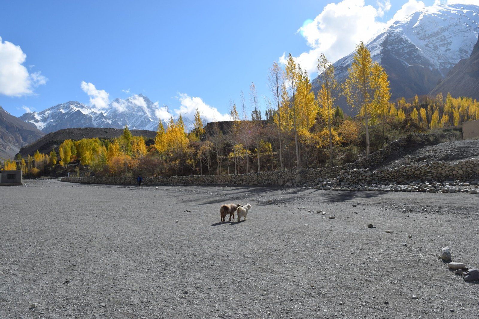
| Borith Lake → Passugar | Gentle start past the lake to a summer pasture camp | ~3,200 m |
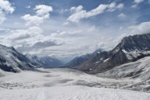
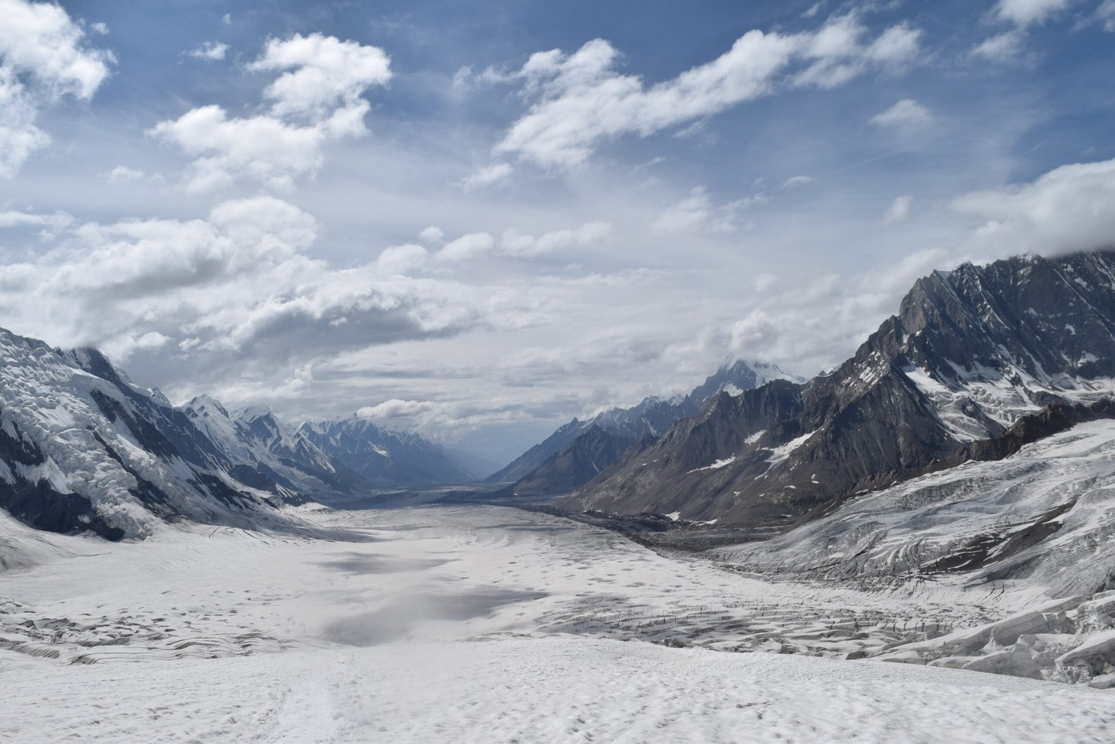
| Passugar → Passu Glacier → Luzhdur | Cross the debris-covered Passu Glacier with a local guide, then climb to the lower camp | Luzhdur ~3,400–3,600 m |
| Luzhdur → Patundas Meadows | Steep zigzag climb to the plateau, then gentle walking across the meadows | Meadows ~4,200 m; higher viewpoints to ~4,700 m |
| Patundas exploration | Sunrise over the peaks, a free day on the plateau, then descend to Luzhdur | — |
| Return | Retrace the route across the glacier to Borith Lake | — |
Two honest complications belong in any Patundas guide. First, the altitude: sources quote the meadows at about 4,200 m, but the plateau’s high point is quoted up to about 4,700 m — the meadow camp and the highest viewpoint are not the same place, so ask your guide which figure your itinerary uses. Second, the glacier: the crossing point, the line across the ice and even the camp locations shift with glacier conditions, so no route description, including this one, should be treated as a fixed trail. Confirm the day’s line with your guide on the morning of the crossing.
For the Gojal context, see the Passu and Gojal travel guide and the best time to visit Hunza Valley.
How Hard Is the Glacier Crossing?
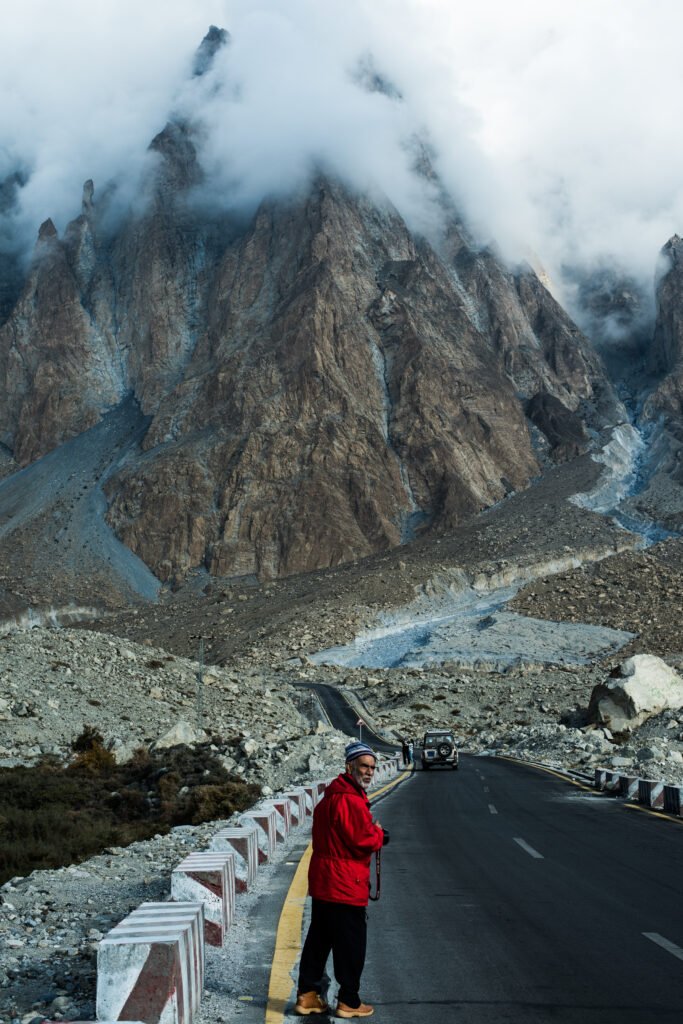
The crossing is the crux and the reason a guide is not optional. The Passu Glacier is debris-covered and crevassed, and the safe line across it moves as the ice shifts. With a local guide who crosses it regularly, it is a demanding but manageable day of 5–6 hours to Luzhdur; without one, it is a genuine hazard. Wear boots with good grip, carry poles, and follow your guide’s line exactly — do not shortcut across ice you have not been shown.
The climb from Luzhdur to Patundas is the second hard section: a steep zigzag that gains roughly 800 m before easing onto the plateau. Good fitness for 5–6 hour days at altitude is the requirement; technical climbing skills are not. The overall grade is moderate for fit walkers, challenging for beginners — and the altitude (4,200 m) is enough to cause headaches if you rush the ascent.
When Is the Best Time for Patundas?
June to September, with June to early September the most reliable window: the glacier is at its most stable, the meadows are in flower and the skies are clearest. Earlier in the season, snow can linger on the plateau; later, cold nights and early autumn storms make the glacier crossing less predictable. As with every Gojal trek, keep a buffer day: the Karakoram Highway, the Passu road and mountain flights are all capable of eating a day at either end.
What Should You Pack and Prepare?
Standard multi-day trekking kit with a camping emphasis: broken-in boots, layers for 3,200 m to 4,700 m, waterproof shell, sun protection, and a warm sleeping bag if you are camping on the plateau (shepherds’ huts exist at some camps, but do not count on them). Sturdy boots matter here more than on most short treks — the KEEN Targhee 3 is a good example of the ankle-supporting, broken-in boot this route wants. Carry water treatment for glacier streams, and cash: there are no ATMs on the trail and card payments stop well before Borith Lake.
Acclimatise sensibly. Spend a night in Passu or Ghulkin (around 2,500–2,800 m) before the trek, keep the first day slow, and descend if altitude symptoms worsen. Travel insurance should explicitly cover trekking to at least 4,700 m — the higher viewpoint figure — not just to the 4,200 m meadow camp.
Do You Need a Guide?
Yes. The glacier crossing, the shifting route and the absence of waymarking make a local guide essential, and guides from Passu and Ghulkin know the current crossing line in a way no guidebook can. Book through a local operator or arrange a guide in Passu village before you start; do not set out onto the Passu Glacier alone. No trek price is quoted here: supported-trip prices vary with group size, duration and inclusions, and no comparable current price list was verified for this draft. Get itemised quotes and compare what is included.
Frequently Asked Questions
How long does the Patundas trek take?
The walking itself is about 3 days: Borith Lake to Luzhdur, Luzhdur to Patundas, and back. Some itineraries add a free day on the plateau, making 4 walking days. Full supported trips from Islamabad run 6–8 days including the Karakoram Highway journey, and a 10-day version from Ghulkin adds acclimatisation and exploration days.
How high is Patundas?
The meadows sit at about 4,200 m, and higher viewpoints on the plateau reach about 4,700 m. Sources differ because they measure different points: the shepherds’ hut and meadow camp at around 4,200 m, and the plateau’s high point above it. For insurance and acclimatisation purposes, use the higher figure, 4,700 m.
Is Patundas suitable for beginners?
Fit beginners with a guide, yes. The walking is moderate and the days are 5–6 hours, but the glacier day and the steep climb are demanding, and the altitude reaches 4,200 m or more. If you have never walked at altitude, spend an extra night in Passu or Ghulkin first.
Can you do Patundas as a day trip from Passu?
No. The glacier crossing and the climb to the plateau make it a multi-day trek with at least one night at Luzhdur and one on or near the plateau. A day trip from Passu village can reach the Passu Glacier viewpoint and the Hussaini suspension bridge area, but not Patundas itself.
What can you see from Patundas?
On a clear day: the Passu Cones, Shispare (7,611 m), the Batura massif (to 7,795 m), the 57 km Batura Glacier, and Ultar Sar, Diran and Rakaposhi (7,788 m) in the distance. Cloud is common in the Karakoram, so allow a free day on the plateau rather than betting the panorama on a single afternoon.