Last updated: 30 October 2026
Short Answer
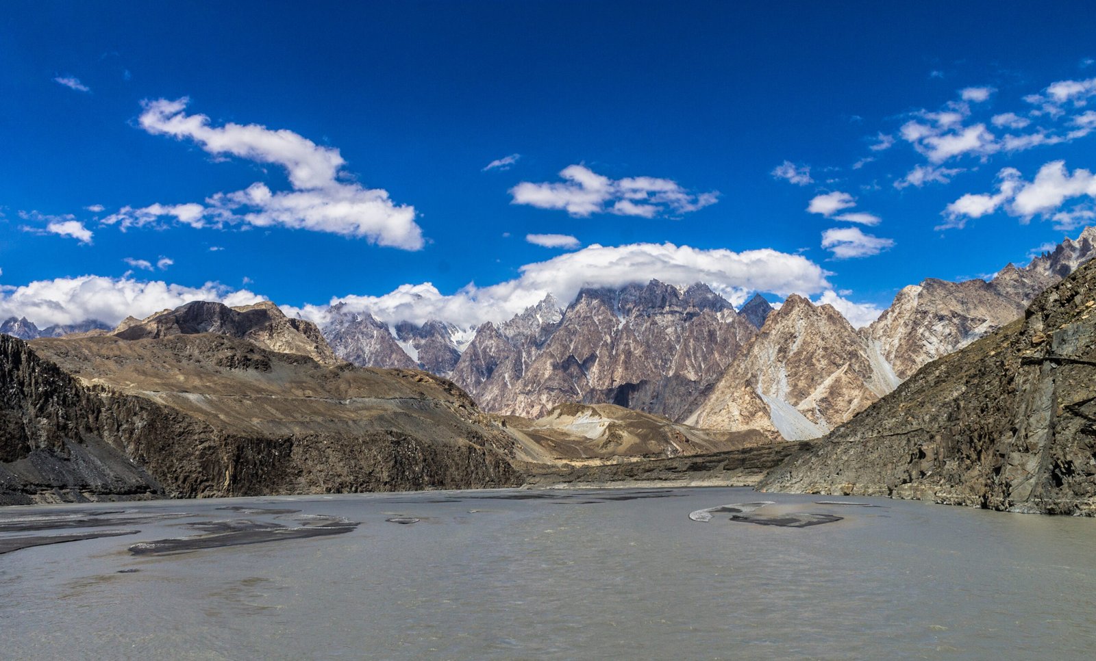
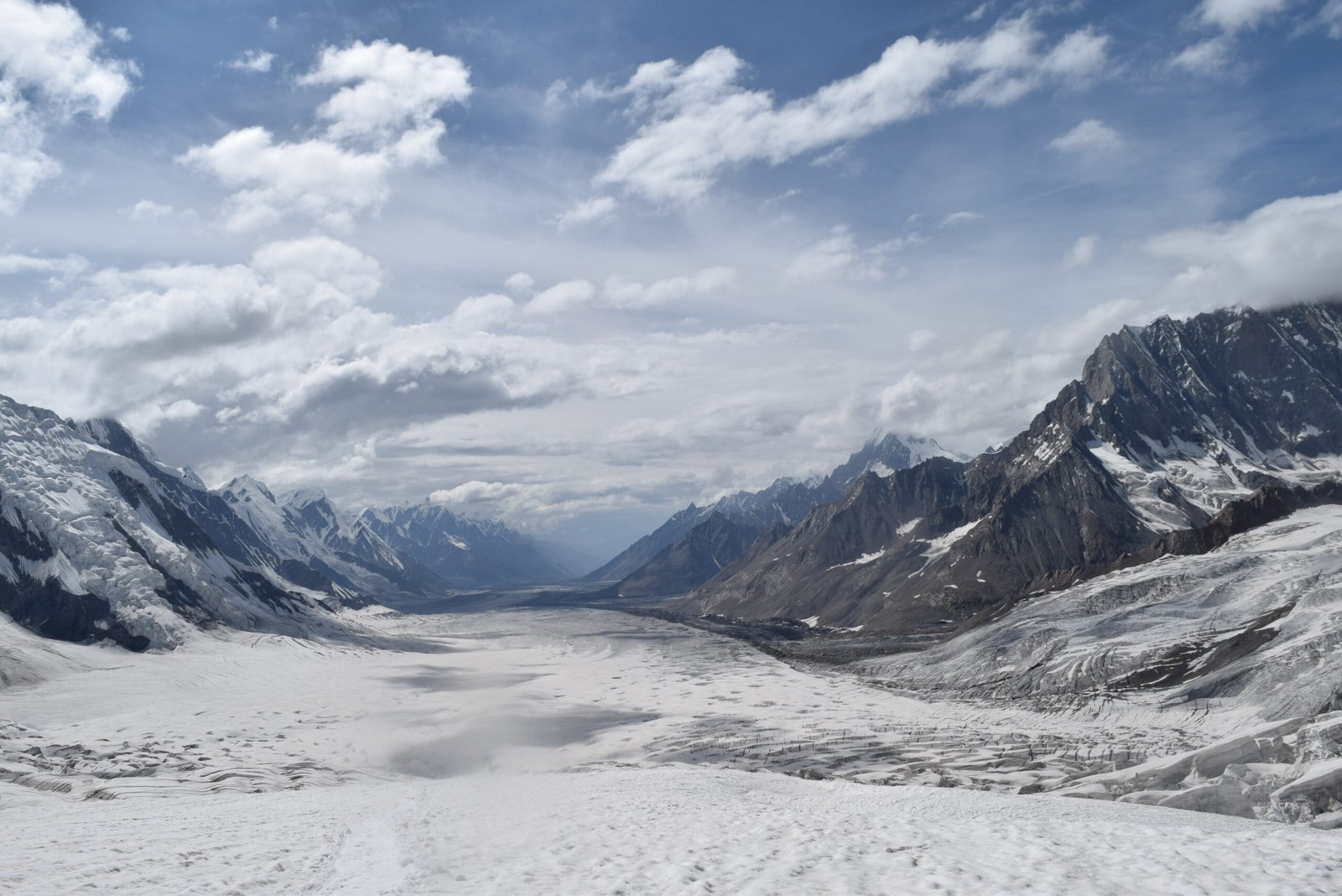
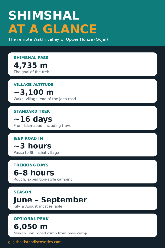
Shimshal Valley, in Upper Hunza (Gojal), is one of the Karakoram’s most remote trekking valleys: a Wakhi village at about 3,100 m, reached by a rough jeep road from Passu, and a trail that climbs through a narrow river gorge to Shimshal Pass at 4,735 m. The standard trek takes about 16 days from Islamabad, including travel, with the pass as the goal and Minglik Sar (6,050 m) as an optional roped climb from base camp. Go between June and September, travel with a licensed local operator, and expect expedition-style camping — this is not a teahouse trek.
Where Is Shimshal, and Why Is It Different?
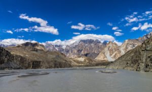
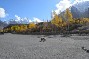
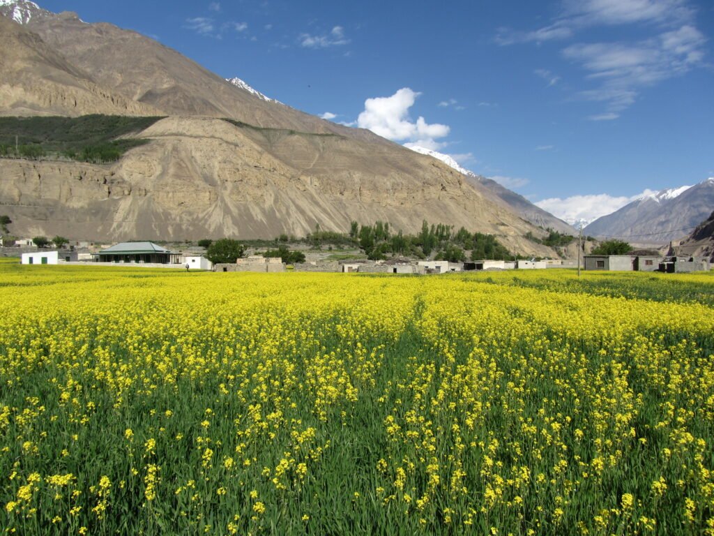
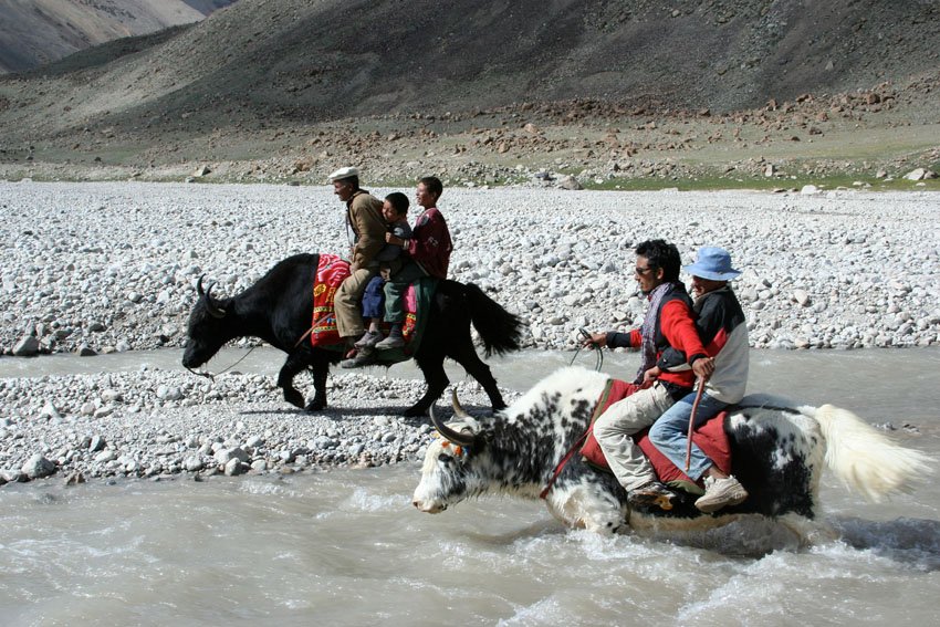
Shimshal sits at the far end of Gojal, beyond Passu, in a valley that was only connected by jeep road in recent decades — before that, the village was reached on foot. Its people are Wakhi, and the valley’s culture, language and farming life are part of the experience, not a backdrop: terraced fields, yaks and a community that still runs its own affairs to a remarkable degree. The trekking is correspondingly wilder than the Hunza main valley. There are no lodges beyond the village, no crowds, and long days on rough trails.
Shimshal is also a district-boundary case worth stating plainly: the valley is in Hunza district, in Gojal, and the pass leads towards the high Pamir country. Do not confuse it with the neighbouring valleys of Nagar, which are separate. For the Gojal context, see the Passu and Gojal travel guide.
How Do You Get to Shimshal Village?
Fly to Gilgit or drive the Karakoram Highway to Hunza, then continue to Passu in Gojal. From Passu, a jeep takes roughly 3 hours up the Shimshal River gorge to the village at about 3,100 m. The road is narrow, rough and exposed in places, and it is the first filter on this trip: if the gorge road is closed by rockfall or flooding, the trek does not start. Build a buffer day into both ends of the journey, and confirm the road locally before you leave Passu.
For the wider journey to Hunza, see how to travel to Gilgit-Baltistan from Islamabad and the best time to visit Hunza Valley.
What Is the Route to Shimshal Pass?
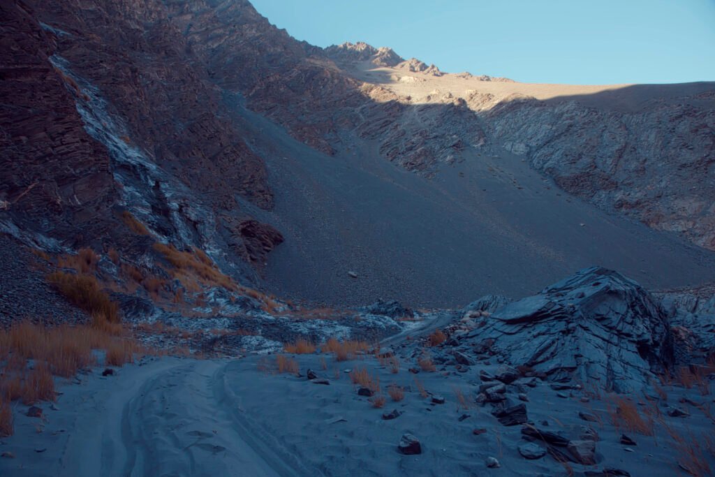
The standard 16-day itinerary from Islamabad spends the first days travelling to Shimshal village, then treks in stages up the valley. Camps vary between operators, but the shape is consistent:
| Stage | What happens | Approx. altitude |
|---|---|---|
| Passu → Shimshal village | Jeep through the Shimshal River gorge | ~3,100 m |
| Shimshal → Ghar Sar / Past Furzin | First trekking day up the valley gorge | ~3,300–3,365 m |
| → Wooch Furzeen / Wuch Furzeen | Long valley day, gaining height steadily | ~3,800 m |
| → Arbob Purian / Purien | High meadow camps beneath big peaks | ~3,810–4,180 m |
| → Shujerav / Shuwerth | Approach camps below the pass | ~4,005–4,350 m |
| → Shimshal Pass | The pass day, with lakes and meadows near the top | 4,735 m |
| Pass → Minglik base camp | Descend from the pass towards the peak’s base | ~4,850 m |
| Minglik Sar (optional) | Pre-dawn roped climb, roughly 9–10 hours return | 6,050 m |
| Return | Retrace the valley to Shimshal village, then jeep out | — |
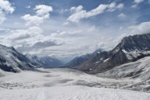
Trekking days run 6–8 hours. The pass itself is reached by a steady climb rather than a technical one, but at 4,735 m the air is thin and the weather can turn fast. Camp names and altitudes differ between operators — one itinerary quotes the pass approach at 4,500 m rather than 4,735 m — so treat the table as the route’s shape, confirmed with your operator, not as survey data.
Should You Climb Minglik Sar?
Minglik Sar (also spelled Manglik Sar) at 6,050 m is the classic add-on: a snow peak climbed in a day from base camp, with slopes of roughly 30–35 degrees, roped travel near the summit, and about 1,500 m of ascent and descent. It is often classed as a trekking peak, meaning it does not demand advanced technical climbing — but it does demand a rope team, crampons, an ice axe, a licensed mountain guide and good acclimatisation. On a clear day the summit views reach across the Karakoram, Pamir and Mustagh ranges, with K2 sometimes visible.
Be honest about what this adds: a 6,000 m day on top of a multi-day trek at 4,000–4,700 m. If you have not been above 5,000 m before, or if the weather is marginal, skip the summit and spend the day exploring around the pass instead. The pass trek is a complete trip without it.
When Should You Go, and What Does It Cost?
June to September is the standard season, when the jeep road is open, the gorge trail is passable and the high camps are free of deep snow. July and August are the most reliable months; June can still hold snow high up and September brings colder nights and a higher chance of the season closing early.
Prices vary with group size, inclusions and whether Minglik Sar is attempted, so get itemised quotes and compare what is included: transport from Islamabad or Gilgit, porters, food, camping gear, guide and peak fees are all separate lines in some quotes and bundled in others.
What Should You Pack and Prepare?
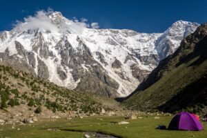
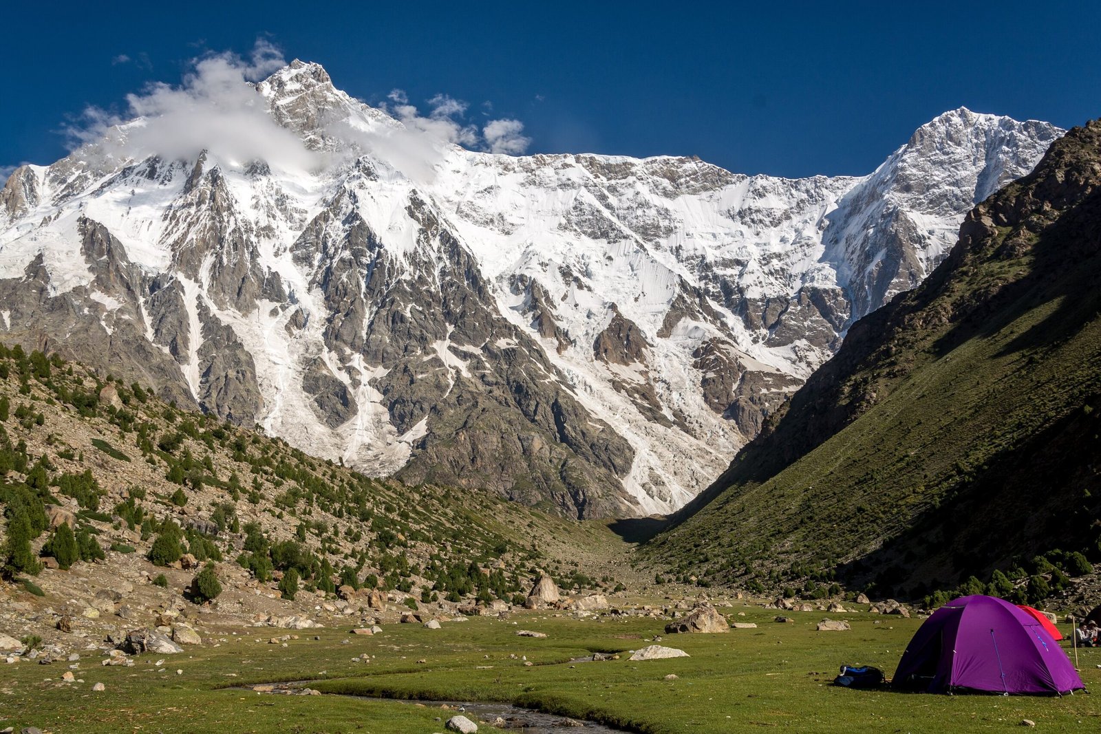
This is a camping expedition: tent nights from the village onwards, no lodges, and limited resupply. Pack broken-in boots, layers for 3,100 m to 6,050 m, sun protection for snow and altitude, a warm sleeping bag rated well below freezing, and water treatment. A power bank is worth its weight where there is no charging for days; for example, the Anker PowerCore. For the Minglik Sar day, your operator should supply ropes and confirm whether crampons, harness and helmet are included or must be hired.
Fitness matters more than gear lists: you need to walk 6–8 hours a day for a week at altitude, carrying a day pack, on rough and sometimes steep ground. Train with loaded hill days before you go, and discuss high-altitude travel with a clinician if you have heart, lung or other serious conditions. Travel insurance must explicitly cover trekking to at least 6,050 m if you plan the peak — standard policies often stop at 4,000–5,000 m.
Frequently Asked Questions
How high is Shimshal Pass?
Shimshal Pass is quoted at 4,735 m by most trekking operators, with the village at about 3,100 m. One itinerary quotes the pass approach camp at 4,500 m, which appears to be a different camp rather than a different pass height. Confirm the pass figure with your operator, but 4,735 m is the widely used number.
How long does the Shimshal Pass trek take?
About 16 days from Islamabad, including travel to and from Hunza, the jeep road in, roughly a week of trekking to the pass and back, and optional Minglik Sar days. Longer 19-day versions add extra passes such as Chafchingol or more acclimatisation days. The trekking itself, village to pass and back, is roughly 8–10 days.
Is Shimshal Pass a technical trek?
The pass trek itself is moderate to challenging rather than technical: rough trails, river gorges and altitude, but no fixed ropes on the standard route. Minglik Sar is the technical part, needing ropes, crampons and a guide. The difficulty of the pass trek comes from remoteness, long days and altitude, not from climbing technique.
Do you need a guide for Shimshal?
In practice, yes. The valley is remote, the trail runs through a gorge and high pastures with no lodges or waymarking of the kind found on busier routes, and operators note that a licensed professional guide is a government requirement for the peak. Book through a licensed operator with local Wakhi guides, who also handle porters and food.
What is the best month for Shimshal?
July and August offer the most reliable conditions: the road is open, the trail is clear and the high camps are at their most accessible. June and September are possible but carry more snow or cold respectively. Keep a buffer day at each end — the gorge road and mountain flights are the two most likely causes of delay.