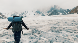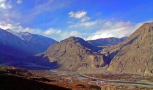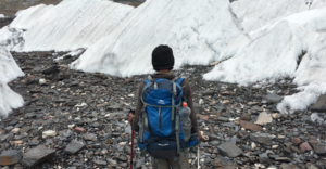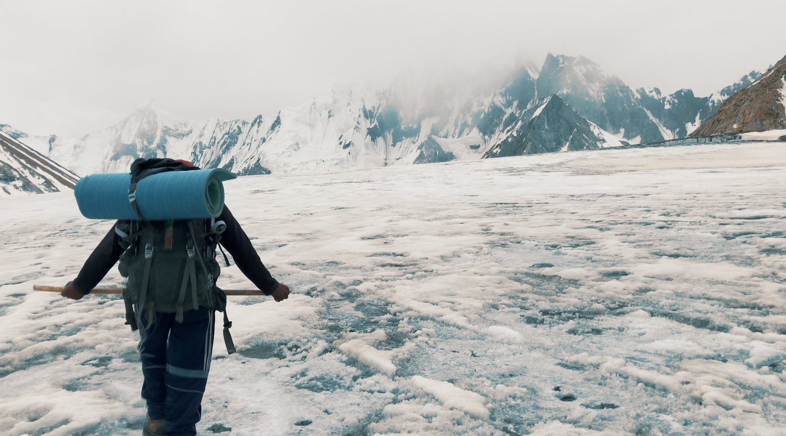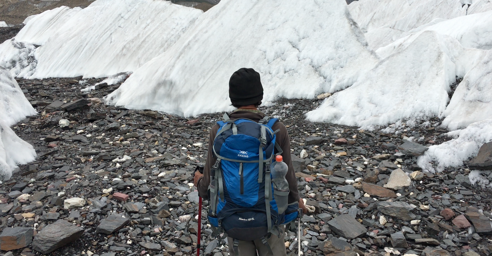
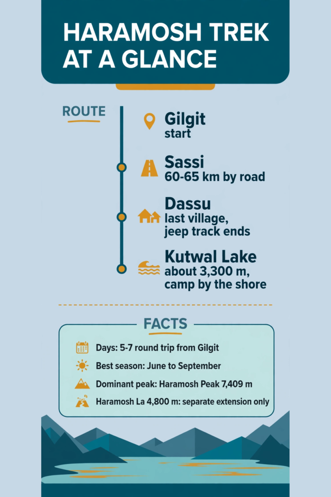
The Haramosh trek is the quiet alternative to the famous Karakoram treks: a 5–7 day round trip from Gilgit to Kutwal Lake, beneath 7,409 m Haramosh Peak, in a valley most travellers have never heard of. The route runs Gilgit → Sassi → Dassu village → Kutwal Lake, with camping beyond Dassu and a local guide essential throughout. The best season is June to September. It is moderate to challenging — not technical, but rough, unmarked in places, and without phone signal.
Haramosh at a glance
| Location | Haramosh Valley, Gilgit District, Gilgit-Baltistan |
| Highest trekking point | Kutwal Lake, about 3,300 m (Haramosh La pass, 4,800 m, is a separate extension) |
| Dominant peak | Haramosh Peak, 7,409 m, plus Laila Peak and Mani (Dobani) Peak |
| Trailhead access | Gilgit → Sassi, about 60–65 km on the Gilgit–Skardu road, then jeep to Dassu |
| Trekking days | 5–7 days round trip from Gilgit |
| Difficulty | Moderate to challenging; no technical climbing for the lake trek |
| Best season | June to September |
| Accommodation | Guesthouses in Gilgit and basic stays near Dassu; camping only beyond Dassu |
| Mobile coverage | None beyond Dassu — no phone signal or electricity at the lake |
Where is Haramosh Valley?
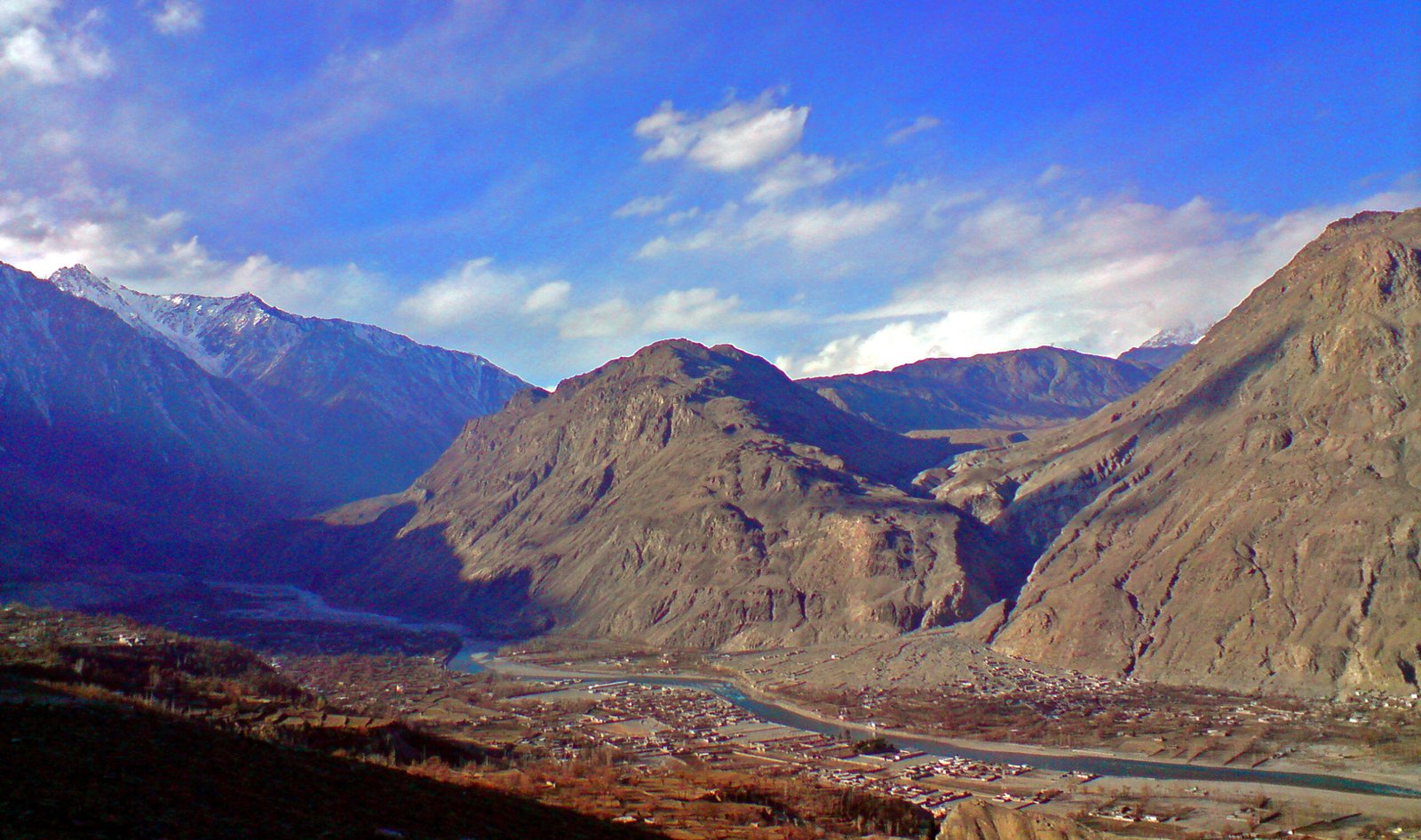
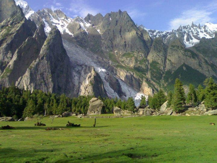
Haramosh Valley sits in the Rakaposhi–Haramosh subrange of the Karakoram, about 60–65 km east of Gilgit City, on the north bank of the Indus. Its eight villages — including Sassi, Dassu (also spelled Dasu/Dasso), Hanuchal and Khaltaro — lie within Gilgit District today, although older sources place the valley in Skardu District; if you see both claims online, the current district is Gilgit. The valley is the approach to Haramosh Peak (7,409 m), one of the least-climbed 7,000 m peaks in the Karakoram, first climbed in 1958 by Heinrich Roiss, Stefan Pauer and Franz Mandl. The trekking goal for most visitors is not the peak but Kutwal Lake, set among meadows beneath Haramosh, Laila and Mani peaks.
How do you get to Haramosh Valley?
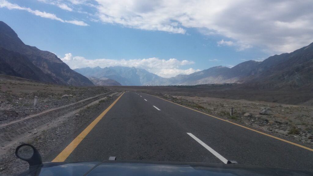
Fly to Gilgit (weather-dependent) or drive the Karakoram Highway, then take the Gilgit–Skardu road to Sassi village — about 60–65 km, roughly 2–3 hours. From Sassi, a narrow jeep track of about an hour leads to Dassu village, the last settlement with basic facilities and the last motorable point for most vehicles. Some accounts describe the Sassi–Dassu leg as a short jeep ride and others as a 1–2 hour walk; either way, Dassu is where the road ends and the real trek begins. Arrange your guide in Gilgit or Sassi before you leave the road — the trail beyond Dassu is unmarked and there is no signal to call for help.
Plan a night in Gilgit at either end of the trip — see the Gilgit City guide — and check the Pakistan Tourist Visa Guide before you travel.
Day-by-day itinerary: Gilgit to Kutwal Lake and back
Timings vary between operators because the trail is rough and river crossings change with the season. The version below is the comfortable one; fit trekkers sometimes compress it.
| Day | Route | Walking | Notes |
|---|---|---|---|
| 1 | Gilgit → Sassi → Dassu | Drive + short jeep/walk | Overnight in Dassu area; meet guide, check gear |
| 2 | Dassu → Iskere → Kutwal Valley approach | 6–8 hrs | Rugged trail, river and glacier crossings, steady climb |
| 3 | Approach → Kutwal Lake (about 3,300 m) | 4–5 hrs | Arrive at the lake; camp by the shore |
| 4 | Kutwal Lake day | Rest / short walks | Explore the lake, Laila Peak views, photography |
| 5–7 | Return to Dassu, then Gilgit | 1–2 days | Retrace the trail; buffer day for weather or crossings |
Day 1: Gilgit to Dassu
Drive the Gilgit–Skardu road to Sassi, then take the jeep track to Dassu. Dassu has simple local-run guesthouses and is the last place to buy basic supplies. Confirm the river-crossing situation with your guide before sleeping — it decides tomorrow’s start time.
Days 2–3: Dassu to Kutwal Lake
The trail from Dassu runs about 18–19 km into the Kutwal Valley, passing Iskere village and crossing streams and glacier-fed rivers. One operator account puts the Dassu–Kutwal leg at 6–8 hours of rugged walking; another splits it across two days with a camp en route. Either way, expect rough, steep ground and no facilities — carry all food, water treatment and camping gear from Dassu.
Day 4: Kutwal Lake
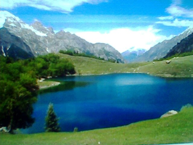
Kutwal Lake sits at about 3,300 m beneath Haramosh Peak, Laila Peak and Mani Peak. It is the turnaround point for most trekkers and the best camp of the trip. Use the day for the lakeshore, side viewpoints and rest — the return journey is just as demanding as the way in.
Days 5–7: The return
Retrace the trail to Dassu and drive back to Gilgit. Keep at least one buffer day: river levels and weather can delay the return, and there is no alternative route out.
When is the best time to trek Haramosh?
| Month | Conditions | Verdict |
|---|---|---|
| June | Trails opening, high water in early season | Good, with a guide checking crossings |
| July–August | Most stable weather, meadows in full flower | Best months |
| Early September | Clearer air, cooler nights, fewer visitors | Very good |
| October–May | Snow, extreme cold, route effectively closed | Do not plan the trek |
For season timing across the whole region, see the Best Time to Visit Gilgit-Baltistan guide.
How hard is the Haramosh trek, and who is it for?
The trek is graded moderate to challenging. It suits trekkers with some multi-day hiking experience who are comfortable with rough, unmarked trails and basic camping. It is not recommended for complete beginners or for small children beyond Dassu village — families can visit up to Dassu, but the trek beyond is tough for small kids. No technical climbing is needed for Kutwal Lake, but river crossings and steep, loose ground demand good fitness and a guide who knows the current line.
The Haramosh La extension — not the same trek
Experienced trekkers sometimes continue beyond the lake toward Haramosh La, a pass at about 4,800 m. This is a separate, harder undertaking with glacier travel and much greater exposure — it is not part of the standard Kutwal Lake trek and should only be attempted with a guide, proper equipment and a longer schedule. Do not confuse the two when comparing operator itineraries: a “Haramosh La trek” and a “Kutwal Lake trek” are different trips.
What does the Haramosh trek cost?
No single official price exists, and this guide does not invent one. As a planning rule, budget for: Gilgit accommodation, a 4×4 jeep for the Gilgit–Sassi–Dassu legs, a local guide (essential, hired in Gilgit or Sassi), porters if you want them, all food and camping equipment carried from Dassu, and insurance that covers trekking to at least 4,000 m. Get itemised quotes from at least two operators and confirm exactly what is included before paying. Prices vary by season and group size; confirm locally.
What to pack for Haramosh
- Sturdy, broken-in trekking boots with ankle support
- Tent, sleeping bag rated below freezing, and cooking gear (camping only beyond Dassu)
- Warm layers, waterproof shell, sun protection (hat, sunglasses, high-SPF sunscreen)
- Water treatment or filter — all collected water should be boiled, filtered or treated
- Power bank, kept warm at night (no electricity beyond Dassu)
- First-aid kit and personal medicines; headlamp; enough cash in rupees (no ATMs beyond Gilgit)
Useful gear, tagged: KEEN Targhee 3 hiking boots, Sawyer Squeeze water filter, Anker PowerCore power bank. For the full list, see What to Pack for Northern Pakistan.
Safety and Plan B
- Hire a local guide — the trail is unmarked, river crossings shift, and there is no phone signal beyond Dassu.
- Cross rivers early in the day when meltwater is lower, and only where your guide judges it safe.
- Build in a buffer day: weather and river levels can close the route in either direction.
- Tell someone in Gilgit your plan and expected return date before leaving Dassu.
- Altitude is moderate (about 3,300 m at the lake), but ascend steadily and report persistent headache, nausea or dizziness to your guide at once. Full guidance: see the companion Altitude Sickness in Gilgit-Baltistan guide, and Is Gilgit-Baltistan Safe for Tourists?
Combining Haramosh with other trips
Haramosh pairs naturally with a Gilgit City stay at either end, and with the Naltar Valley or Rakaposhi Base Camp as a second short trek in the same Gilgit-side trip. It does not combine easily with a Skardu itinerary in the same week — despite the old district confusion, the practical gateway is Gilgit, not Skardu town.
Frequently Asked Questions
How long is the Haramosh trek?
The standard round trip from Gilgit takes 5–7 days, including the drives to Sassi and Dassu, the trek to Kutwal Lake, a lake day and the return. Fit trekkers sometimes compress it, but the comfortable version with a buffer day is the safer plan.
How high is Kutwal Lake?
Kutwal Lake sits at about 3,300 m above sea level, beneath Haramosh Peak (7,409 m). The higher Haramosh La pass, at about 4,800 m, belongs to a separate, harder extension and is not part of the standard lake trek.
Do I need a guide for Haramosh?
Yes. The trail beyond Dassu is unmarked, river crossings change with the season, and there is no phone signal to call for help. A guide hired in Gilgit or Sassi is essential for navigation, crossings and local knowledge.
What is the best month for Haramosh?
July and August offer the most stable weather, with June and early September also good. From October to May the valley is effectively closed by snow and cold, so do not plan the trek in winter.
Is Haramosh in Gilgit or Skardu District?
Haramosh Valley is currently in Gilgit District, and Gilgit is the practical gateway. Older sources place it in Skardu District, which is why both claims appear online — the current administrative position is Gilgit District.
Last updated: 30 October 2026