Last updated: 4 November 2026
Short Answer
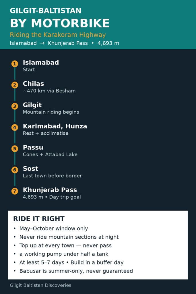
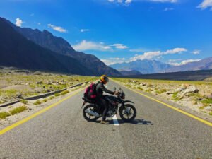
Riding the Karakoram Highway (KKH, the N-35) by motorbike is one of the great road journeys in the world: roughly 700 km from Islamabad to Karimabad in Hunza, then on through Passu and Sost to Khunjerab Pass at 4,693 m on the border with China. Our own KKH Road Trip guide puts the drive at 16–19 hours in normal conditions; on a bike, plan longer, with photo, fuel and rest stops built in. Ride it over at least five to seven days, in the May to October window, on a well-serviced bike you already know — and never ride the mountain sections at night.
What does the Karakoram Highway route actually look like?
The KKH runs from near Hasan Abdal, close to Islamabad, north via Mansehra, Besham, Chilas and Gilgit, then through Hunza and Nagar — separate districts across the Hunza River — to Sost and Khunjerab Pass. The full highway to the border is about 1,300 km, paved throughout but with rough patches, gravel at landslide clearances and roadworks, especially between Besham and Chilas.
The table below uses indicative driving times from our own Islamabad travel guide (car figures). On a bike, allow at least the same time, usually more.
| Route section | Distance (approx.) | Indicative driving time | Notes for riders |
|---|---|---|---|
| Islamabad → Chilas (via Besham) | ~470 km | 9–11 hours | Long day; split it if you can |
| Chilas → Gilgit | ~130 km | 2.5–3.5 hours | Rockfall debris and roadworks |
| Gilgit → Karimabad (Hunza) | ~100 km | 2–3 hours | Smooth, scenic approach |
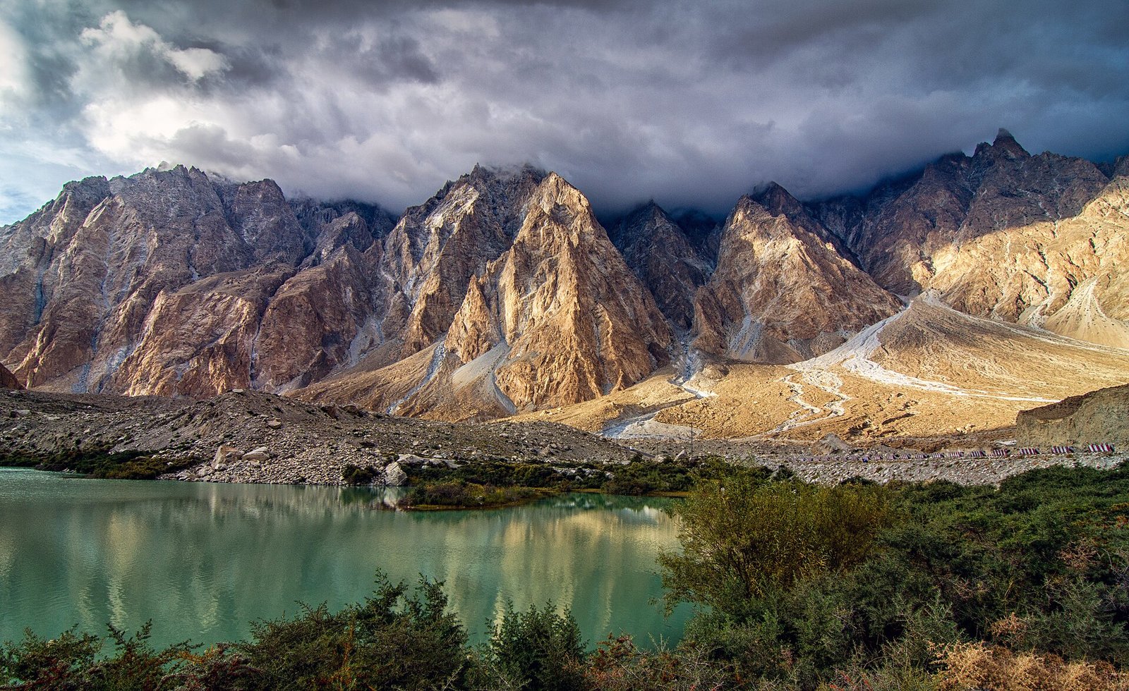
| Karimabad → Khunjerab Pass | ~140 km | A full day ride | Via Attabad Lake, Passu and Sost |
| Islamabad → Karimabad (whole KKH leg) | ~700 km | 16–19 hours | Split over at least two days |
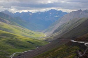
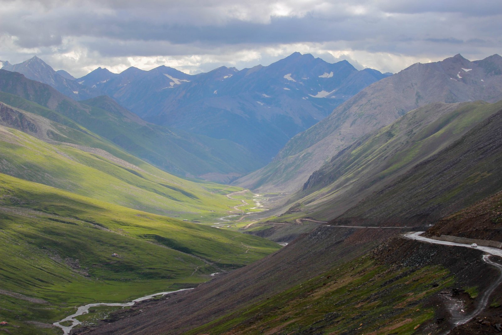
An alternative summer route runs via Naran and Babusar Pass (4,173 m) to Chilas — shorter and more scenic, but summer-only, opening once snow is cleared (usually late May or June) and closing around October or November. On 3 November 2026, snowfall in Kaghan closed the road beyond Naran, a reminder of how quickly that changes. Treat Babusar as a bonus, never a guarantee.
When is the best time to ride the KKH?
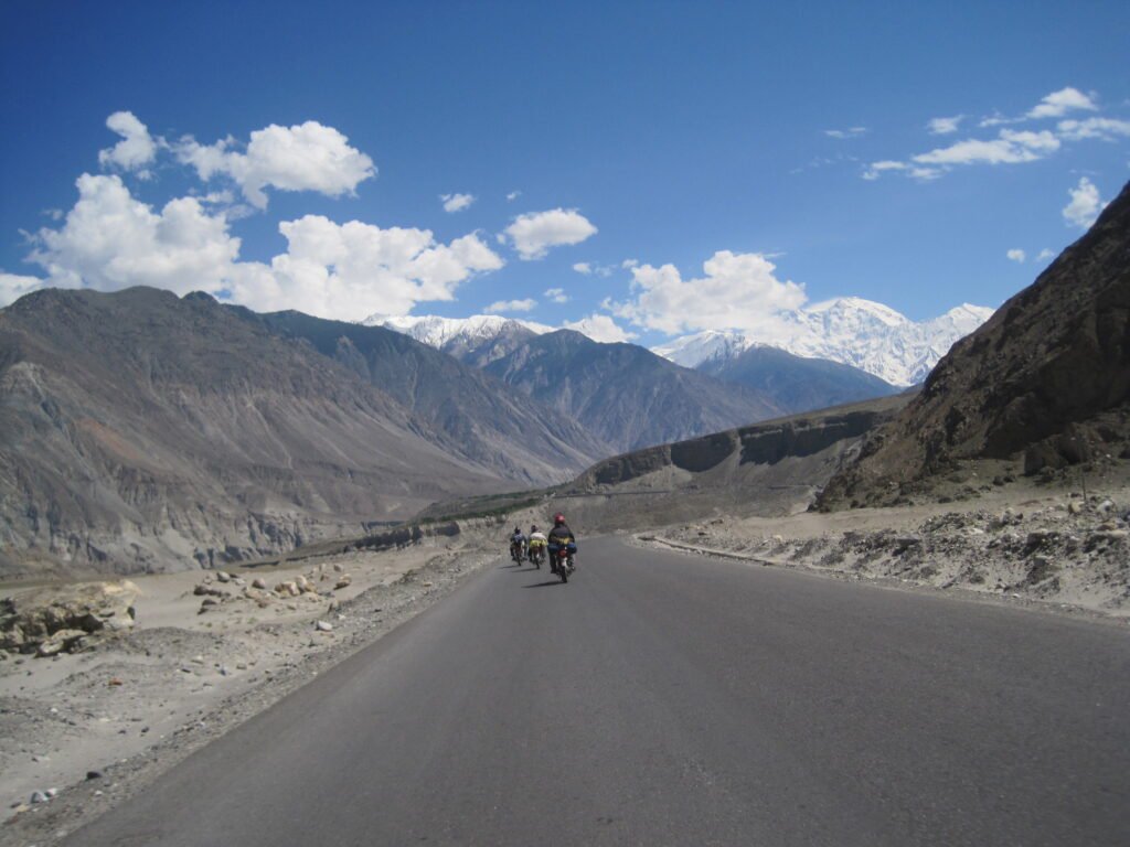
May to October is the sensible riding window. Late spring brings blossom and mild temperatures, but melting snow can still trigger landslides. June to August is peak season — every pass normally open, yet monsoon rain can block the Kohistan and Chilas sections. September to mid-October is many riders’ favourite: clear skies, golden poplar and apricot trees, and thinner traffic, though nights at altitude turn cold fast. Winter riding beyond Gilgit is a specialist undertaking: heavy snow closes the high sections and Babusar shuts entirely.
Which bike suits the Karakoram Highway?
The honest answer is: the bike you trust, serviced properly, rather than the biggest bike you can hire. The KKH is paved, so you do not need a dedicated off-road machine, but you do want comfortable suspension, good ground clearance for gravel and debris, and an engine that is not straining at altitude. Smaller bikes ride the length of the KKH every season; what matters more than capacity is condition — fresh tyres, brakes, chain and fluids, and a full service before you leave Islamabad.
Ride loaded before the trip, not for the first time on the highway: luggage changes braking and balance. Soft panniers suit the narrow, bumpy sections better than wide hard cases, and everything should be strapped so it cannot shift. Carry a basic toolkit, a puncture repair kit and a tyre pump: workshops exist in the main towns, but not on the stretches between them.
How do you plan fuel on the KKH?
Fuel planning is the single most practical skill on this ride. Stations are sparse in the remote sections, and a station on a map may be dry, closed or out of your fuel type when you arrive. The rule is simple: top up at every proper town — Gilgit, Chilas, Karimabad and Sost — and never pass a working pump in a remote stretch with less than half a tank. Riders on smaller tanks should consider a safe, properly secured spare fuel container.
Ask locally each morning. Other riders, hotel staff and shopkeepers know which pumps are actually working that day, and that information is worth more than any app. The same applies to the road: National Highway Authority (NHA) updates and recent traveller reports are the best check before a mountain section.
What about altitude, landslides and roadworks?
Altitude is the quiet challenge of this ride. Karimabad sits far lower than Khunjerab Pass at 4,693 m, and the climb from Hunza to the border happens in a single day. Spend at least a night or two in Hunza before the Khunjerab day, ascend steadily, drink plenty of water, and do not push hard at the top. Headache, nausea or unusual tiredness are signals to stop and descend, not to press on.
Landslides and roadworks are normal on the KKH, not exceptional. Monsoon rain, melting snow and construction — including work around the Diamer-Bhasha Dam area — can close a section for hours. When you meet a closure, wait it out; riding around barriers or through fresh debris is how bikes get damaged and riders get hurt. Start early, ride only in daylight on mountain sections, and build a spare day into the trip.
What should you expect at checkposts?
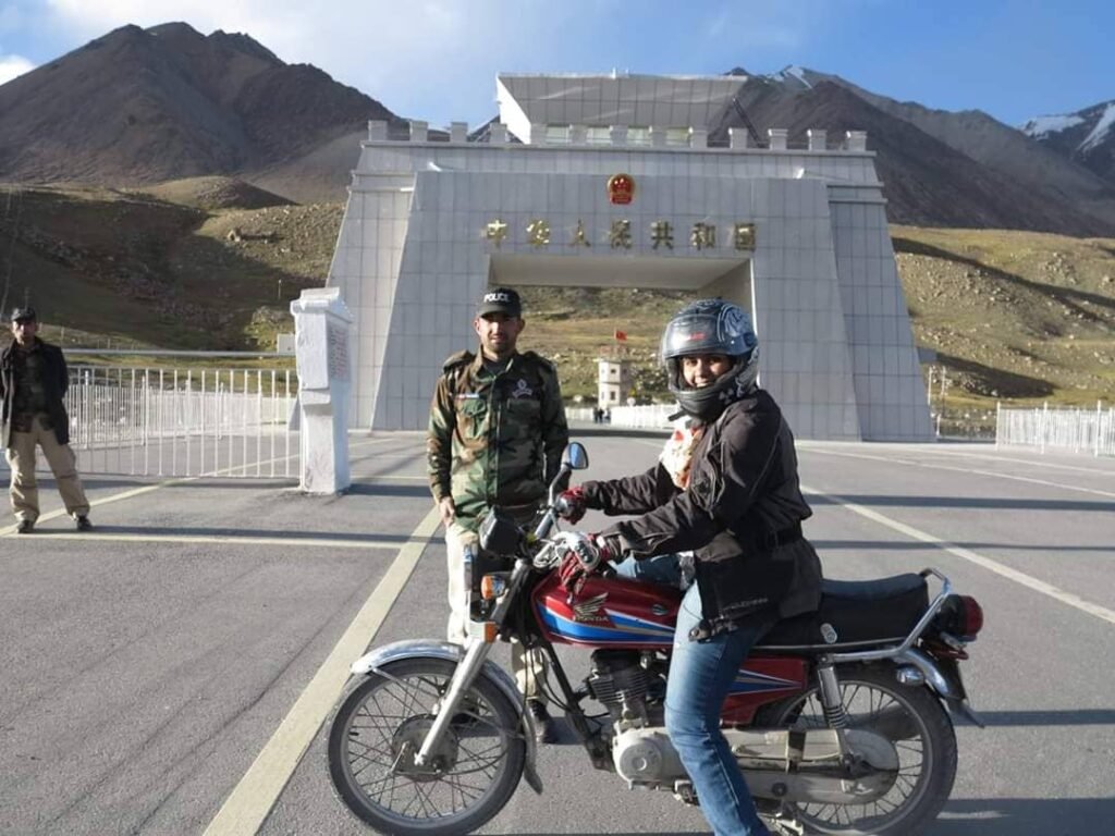
You will pass police and security checkposts along the route, particularly deeper into Gilgit-Baltistan and towards the border zone. Expect to be asked for identification — for foreign riders, your passport and any permits relevant to the areas you are visiting. Keep documents in one accessible place, not buried at the bottom of a pannier, and be polite, patient and unhurried. These stops are routine, and a calm attitude gets you through quickly.
Two things to get straight before you go. First, some areas near the Line of Control are restricted, and foreign visitors may need a no-objection certificate (NOC) for specific zones; the main tourist valleys on this route are open, but check your exact itinerary in advance. Second, Khunjerab Pass itself is the goal, not a crossing: riding to the border marker is a day trip from Hunza, but crossing into China on your own bike is a separate, heavily permissioned undertaking needing pre-arranged transport and paperwork.
Commons, CC BY-SA 4.0.
What gear should you pack for a KKH ride?
Pack for three climates in one day: heat in the lowlands, wind on the passes, and cold at 4,693 m. A layering system — base, insulation, windproof and waterproof outer — beats one heavy jacket. A full-face helmet, armoured jacket and trousers, gloves and sturdy boots are non-negotiable; the gravel and debris sections are unforgiving.
Beyond riding kit, the essentials are: offline maps downloaded before you leave (mobile coverage is patchy, and SCOM has the widest footprint inside Gilgit-Baltistan), a power bank, sun protection for high altitude, a first-aid kit, and enough cash for stretches where cards and mobile payments do not work. For a fuller packing breakdown, see our What to Pack guide.
A practical 7-day riding plan
This sketch assumes the all-year KKH route via Besham. It is a starting point, not a timetable — adjust it to your pace and to the road on the day.
| Day | Ride | Why this pace |
|---|---|---|
| Day 1 | Islamabad → Besham or Chilas | Breaks the long first leg |
| Day 2 | Besham/Chilas → Gilgit | Mountain riding begins |
| Day 3 | Gilgit → Karimabad (Hunza), easy afternoon | Forts, bazaars, Eagle’s Nest sunset |
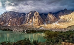
| Day 4 | Rest day in Hunza | Acclimatisation, bike check, Attabad Lake |
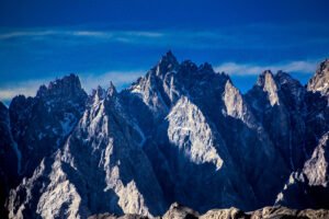
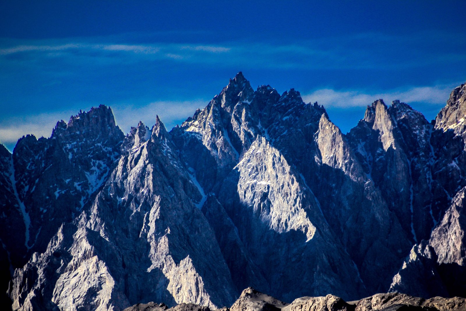
| Day 5 | Karimabad → Passu → Sost, return or overnight | Cones and the last town before the border |
| Day 6 | Hunza → Khunjerab Pass and back | The big altitude day; start early |
| Day 7 | Karimabad → Gilgit, or begin the return south | Buffer day for any closure |
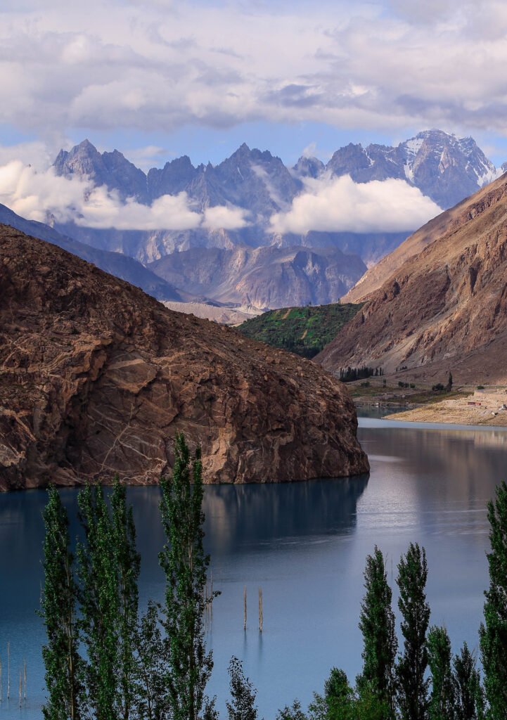
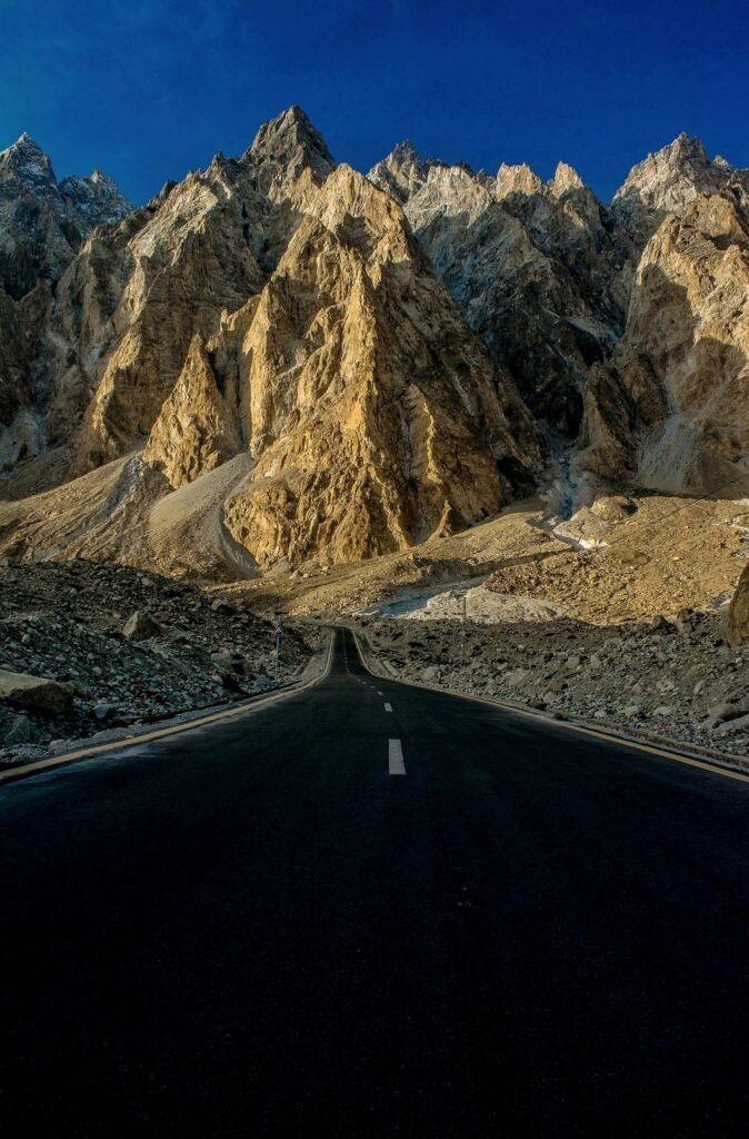
If you have more time, add days in Hunza and Nagar — the Rakaposhi viewpoints and the Nagar side of the river deserve more than a drive-by — and see the Nagar guide and the 23 Best Places pillar for ideas. Also consider the Fairy Meadows jeep track from Raikot Bridge as a non-riding side trip — see How to Get to Fairy Meadows. If you have less time, fly to Gilgit and ride north; the Hunza-to-Khunjerab stretch is the finest riding on the highway.
Frequently asked questions
Is the Karakoram Highway safe to ride by motorbike?
Yes, for a prepared rider. The main risks are mountain hazards — landslides, rockfall, weather and fatigue — not the route itself. Ride only in daylight on mountain sections, check the day’s road status before departing, keep a buffer day in your plan, and never ride beyond your ability on gravel or debris stretches.
When is the best month to ride the KKH by motorbike?
September is hard to beat: clear skies, golden autumn colours, thinner traffic and settled roads after the monsoon. June to August is peak season with everything open, but expect crowds and possible rain closures. May brings blossom, while late October onwards risks snow closing the high sections.
Can a small motorbike handle the Karakoram Highway?
Yes. The KKH is paved, and smaller bikes ride it every season. Condition matters far more than engine size: fresh tyres, brakes, chain and fluids, plus a full service before departure. What you genuinely need is comfortable suspension, decent ground clearance for debris sections, and luggage that cannot shift on rough roads.
Do I need a permit to ride to Khunjerab Pass?
Pakistani riders generally need no special permit for the main route, but carry your national identity card for checkposts. Foreign riders should carry their passport and check whether their itinerary needs a no-objection certificate for any restricted zone. Riding to the border marker is a day trip; crossing into China needs separate, pre-arranged permission.
How do I handle fuel on the remote sections of the KKH?
Top up at every main town — Gilgit, Chilas, Karimabad and Sost — and never pass a working pump in a remote stretch with less than half a tank. Ask locally each morning which pumps are actually operating, since stations can be dry or closed. Riders on smaller tanks should carry a properly secured spare fuel container.